Mespelbrunn, municipality of Germany
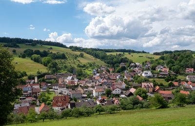
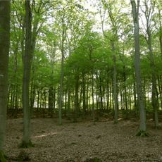
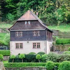
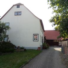
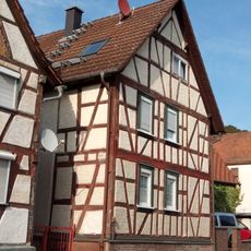
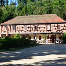
Mespelbrunn is a small municipality in the Aschaffenburg district of Bavaria, nestled in a wooded valley. The village comprises three parts: Hessenthal, Mespelbrunn proper, and the castle area, where water and forests shape the landscape into a peaceful, self-contained setting.
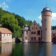
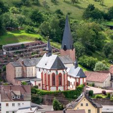
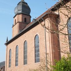
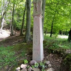
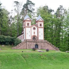
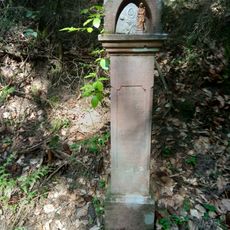
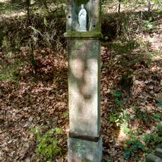
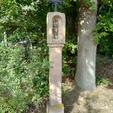
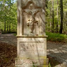
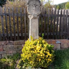
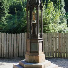
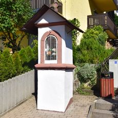
The municipality was formed by merging two villages and has medieval roots dating to the 13th century, particularly linked to the Hessenthal pilgrimage church. The renowned castle was founded in 1427 as a watchtower and later expanded in the 16th century by the Echter family into a Renaissance residence, surviving as one of Franconia's few castles that escaped wartime destruction.
The name Mespelbrunn comes from medieval German and refers to the stream flowing through the valley. The castle shapes the cultural identity of the place, serving as a symbol of heritage that draws visitors interested in exploring the region's past and local traditions.
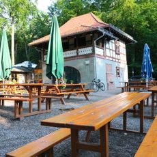
The best way to reach the location is by train to nearby towns like Heigenbrücken or Aschaffenburg, then by bus to the village, or by car from Frankfurt or Würzburg. Parking is available near the castle since it sits close to the road, and the village offers small hotels and guesthouses for overnight stays, while nearby larger towns provide more options for restaurants and shops.
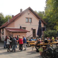
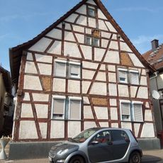
A historic inn called Zur Post reportedly inspired writer Wilhelm Hauff in the 1800s, who wrote a famous story about a tavern in the Spessart forest. This tale was later adapted into a film and continues to add to the location's special appeal.
The community of curious travelers
AroundUs brings together thousands of curated places, local tips, and hidden gems, enriched daily by 60,000 contributors worldwide.