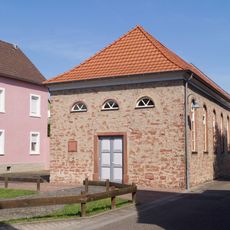
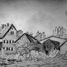
Kahl am Main, municipality of Germany
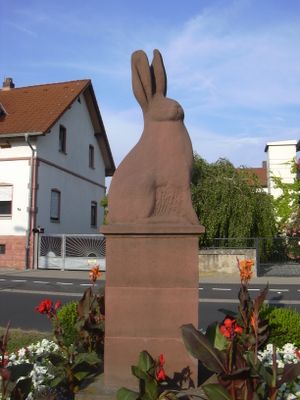
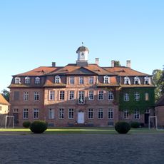
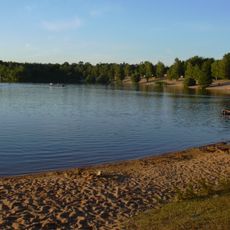
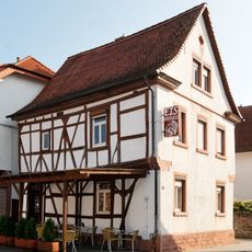
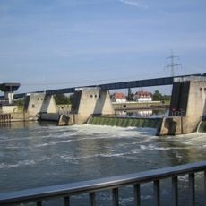
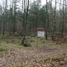
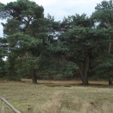
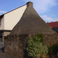
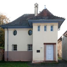
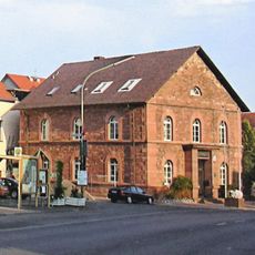
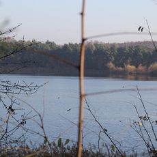
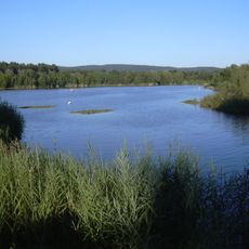
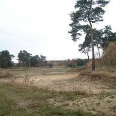
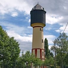
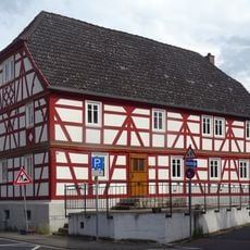
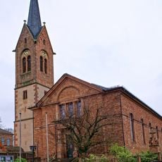
Kahl am Main is a municipality in the Aschaffenburg district situated along the Main River. The place consists of residential areas interspersed with green spaces and sits within a region marked by both industrial and agricultural activities.
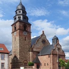
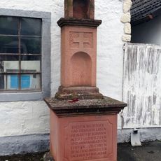
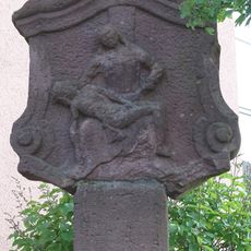
The municipality developed over centuries as a settlement at a Main River crossing point. Its growth was shaped by proximity to transportation routes and later by industrial development in the region.
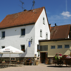
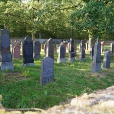
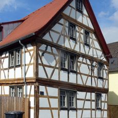
The municipality is easily accessible from Aschaffenburg and offers good connections to the river and surrounding villages. Visitors find quiet residential areas here and access to green spaces for walks along the Main.
The community of curious travelers
AroundUs brings together thousands of curated places, local tips, and hidden gems, enriched daily by 60,000 contributors worldwide.