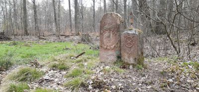
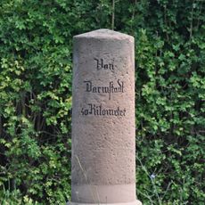
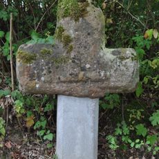
Hoher Stein, Boundary marker at state border between Bavaria and Hesse, Germany
Hoher Stein is a boundary marker standing on a 281-meter-high border mountain where the districts of Wald-Amorbach, Hainstadt, and Mömlingen meet at a sandstone ridge. The stone serves as a physical reference point that continues to mark administrative divisions between different territories.
The stone was erected in 1668 to mark the boundaries between three territories: the Archbishopric of Mainz, the Breuberg Lordship, and the Condominium of Umstadt. This boundary point endured for centuries despite shifting political powers in the region.
The monument displays different coats of arms representing the rulers who once controlled this territory, showing how power and authority were marked on the landscape. These symbols remain visible reminders of the political divisions that shaped this region.
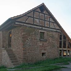
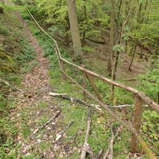
The monument is accessible via several hiking trails and serves as a landmark for those exploring the regional landscape on foot. Visitors should prepare for some elevation gain and bring proper footwear and water for the trek.
Next to the main stone stands a smaller marker that records the territorial changes during the Napoleonic Wars, bearing the Mainz wheel and letters identifying the Grand Duchy of Frankfurt. This secondary marker tells the story of a time when this region's boundaries shifted dramatically.
The community of curious travelers
AroundUs brings together thousands of curated places, local tips, and hidden gems, enriched daily by 60,000 contributors worldwide.