Stockstadt am Main, market municipality of Germany
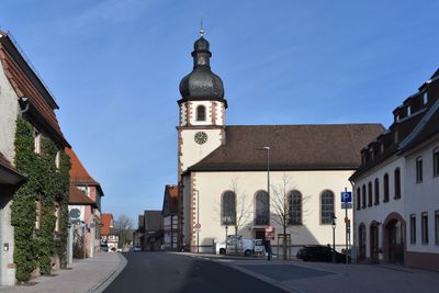
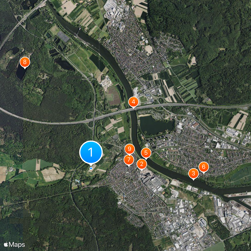
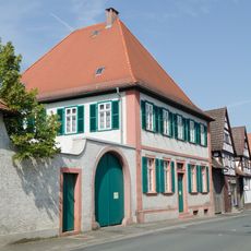
Stockstadt am Main is a market municipality in Hesse that sits on the banks of the Main River and is home to around 4,000 to 5,000 residents. The place has a traditional village center with homes, a port along the river, and green spaces that line the Main's edges.
The settlement grew from its importance as a trading center on the Main River and was established as a market municipality to support commerce along the waterway. This trading function has shaped its development and structure ever since its founding.
The name Stockstadt references its position on the Main River and its role as a trading location in earlier times. Visitors can observe how the community is built around its central area and riverfront, where everyday activity shapes local life today.
The place is easy to reach and has an open layout with accessible paths along the Main where visitors can walk comfortably. There are local facilities in the center that give a good sense of the community.
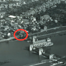
The Main harbor is an important focal point in local life and connects the community to the larger river system, making water transport a defining feature of the region. This shipping connection is often overlooked but continues to shape the character of the place today.
The community of curious travelers
AroundUs brings together thousands of curated places, local tips, and hidden gems, enriched daily by 60,000 contributors worldwide.