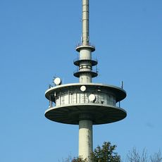
Hoherodskopf, Volcanic summit in Vogelsberg, Germany.
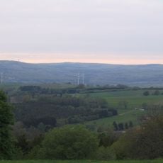
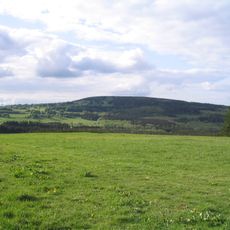
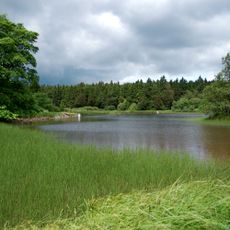
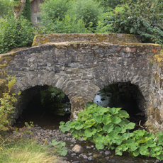
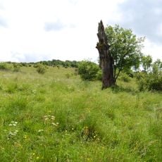
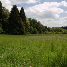
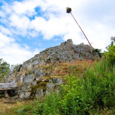
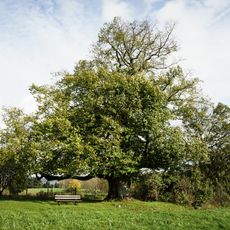
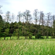
Hoherodskopf is the highest summit of the Vogelsberg and rises 764 meters above the landscape of Hesse. Volcanic rock formations shape its appearance, and the top offers broad views across the surrounding region.
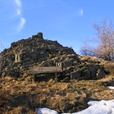
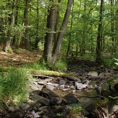
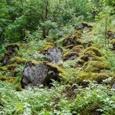
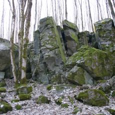
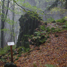
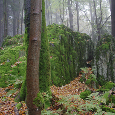
The mountain formed millions of years ago through volcanic activity during the Miocene period, shaping the geological structures of the entire Vogelsberg. This volcanic past remains visible today in the rock layers.
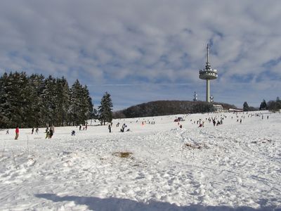
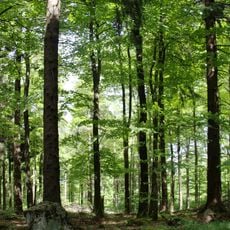
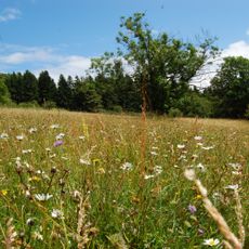
The summit serves as a gathering place for hikers and nature enthusiasts who come to enjoy views and outdoor time in a shared natural setting. Visitors of all ages use the open landscape to spend time outdoors and connect with the surrounding environment.
The summit is accessible via marked hiking trails that are well-signposted and offer varying difficulty levels. Parking is available at the base of the mountain, and an information center provides details about current conditions and available options.
On cold months, the summit offers winter sports opportunities such as skiing and sledding that are not available in summer. This seasonal transformation makes each visit a different experience.
Location: Hesse
Elevation above the sea: 764 m
GPS coordinates: 50.51115,9.22725
Latest update: December 7, 2025 19:23
Taufstein
1 km
Bilstein
2.4 km
Fernmeldeturm Hoherodskopf
48 m
Herchenhainer Höhe
4.4 km
Sieben Ahorn
2.8 km
Bismarck Tower
1 km
Hoherodskopf
110 m
Evangelische Kirche Busenborn
3.3 km
Evangelische Kirche Rudingshain
4 km
Evangelische Kirche Burkhards
5.7 km
Evangelische Kirche Breungeshain
1.6 km
Evangelische Kirche Feldkrücken
5.5 km
Evangelische Kirche Michelbach
4.9 km
Der Bilstein bei Busenborn
2.4 km
Naturschutzgebiet Oberes Niddatal/Forellenteiche
1.6 km
Wannersbruch
3.6 km
Brücken über die Nidder
4.8 km
Naturschutzgebiet Ernstberg bei Sichenhausen
4.2 km
Naturschutzgebiet In der Breungeshainer Heide
2.5 km
Blockfelder am Taufstein
1.1 km
Am Bilstein bei Breungeshain und Busenborn
2 km
Naturschutzgebiet Auf der langen Galle bei Rudingshain
4.1 km
Niddahänge östlich Rudingshain
2.2 km
Die Uhuklippen von Ilbeshausen
5.5 km
Linde am tiefen Weg
6.1 km
Vogelsberg
5.2 km
Das Gesicht, Felsgruppe bei Grebenhain
4.8 km
Die Bonifatiuskanzel von Herchenhain
4.8 kmVisited this place? Tap the stars to rate it and share your experience / photos with the community! Try now! You can cancel it anytime.
Discover hidden gems everywhere you go!
From secret cafés to breathtaking viewpoints, skip the crowded tourist spots and find places that match your style. Our app makes it easy with voice search, smart filtering, route optimization, and insider tips from travelers worldwide. Download now for the complete mobile experience.
A unique approach to discovering new places❞
— Le Figaro
All the places worth exploring❞
— France Info
A tailor-made excursion in just a few clicks❞
— 20 Minutes