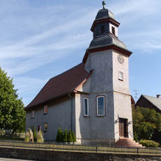
Sieben Ahorn, Mountain summit in Hesse, Germany
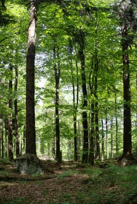
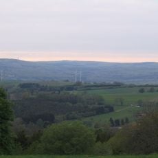
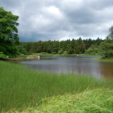
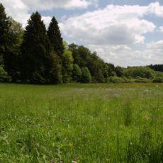
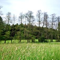
Sieben Ahorn is a summit in the Vogelsberg mountain range in Hesse, rising to 753 meters and offering views across rolling forested and open landscape. The slopes are covered with mixed woodland typical of this volcanic mountain region.
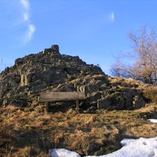
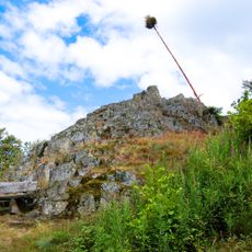
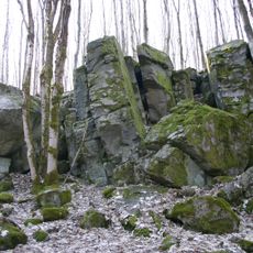
The mountain has long served as a natural landmark in the Vogelsberg, a region shaped by volcanic activity millions of years ago. This geological foundation continues to define the character of the peak and surrounding terrain.
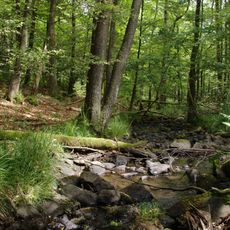
The name refers to maple trees that once served as distinctive landmarks along mountain paths in this region. Visitors walking the various routes can still encounter these trees scattered across the slopes today.
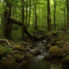
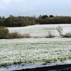
Multiple hiking trails lead to the summit and are accessible year-round, with spring and autumn offering the most comfortable walking conditions. Proper footwear is advisable, especially during winter months when some paths can become slippery.
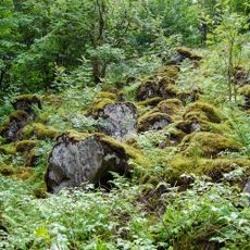
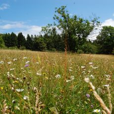
While neighbouring peaks attract most visitors, this summit remains relatively quiet and peaceful for hikers seeking solitude. Raptors such as buzzards and kestrels hunt regularly in the airspace above the ridge, making it an excellent spot for wildlife observation.
Location: Hesse
Elevation above the sea: 753 m
GPS coordinates: 50.53583,9.22945
Latest update: December 14, 2025 14:43
Hoherodskopf
2.8 km
Taufstein
2.2 km
Bilstein
4.8 km
Fernmeldeturm Hoherodskopf
2.8 km
Schlossberg Ulrichstein
5.4 km
Bismarck Tower
2.2 km
Hoherodskopf
2.8 km
Evangelische Kirche Engelrod
5.6 km
Evangelische Kirche Ulrichstein
5.3 km
Evangelische Kirche Busenborn
5.1 km
Evangelische Kirche Rudingshain
4.1 km
Evangelische Kirche Breungeshain
3.6 km
Evangelische Kirche Feldkrücken
3.7 km
Evangelische Kirche
5 km
Der Bilstein bei Busenborn
4.8 km
Naturschutzgebiet Oberes Niddatal/Forellenteiche
1.8 km
Wannersbruch
2.6 km
Museum im Vorwerk
5.6 km
Blockfelder am Taufstein
2.2 km
Naturschutzgebiet In der Breungeshainer Heide
786 m
Am Bilstein bei Breungeshain und Busenborn
4.2 km
Naturschutzgebiet Auf der langen Galle bei Rudingshain
3.3 km
Niddahänge östlich Rudingshain
2.3 km
Evangelische Kirche Lanzenhain
5.1 km
Ehem. Schule
5.1 km
Die Uhuklippen von Ilbeshausen
5.6 km
Dicke Steine von Engelrod
5.1 km
Vogelsberg
2.8 kmVisited this place? Tap the stars to rate it and share your experience / photos with the community! Try now! You can cancel it anytime.
Discover hidden gems everywhere you go!
From secret cafés to breathtaking viewpoints, skip the crowded tourist spots and find places that match your style. Our app makes it easy with voice search, smart filtering, route optimization, and insider tips from travelers worldwide. Download now for the complete mobile experience.
A unique approach to discovering new places❞
— Le Figaro
All the places worth exploring❞
— France Info
A tailor-made excursion in just a few clicks❞
— 20 Minutes