Bilstein, Mountain summit in Schotten, Germany
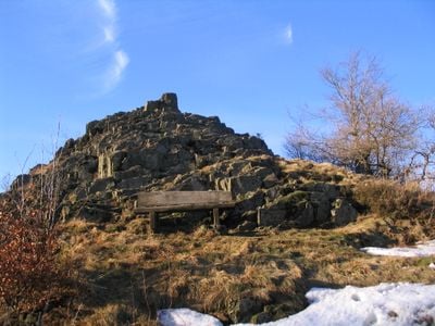
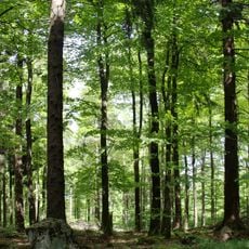
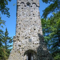
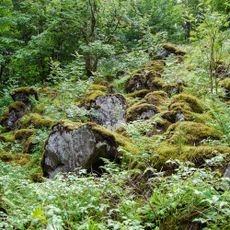
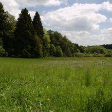
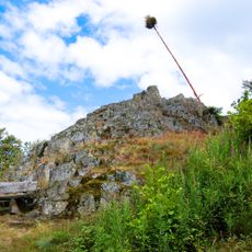
Bilstein is a mountain summit in Schotten, in the Vogelsberg area of Hesse, characterized by steep vertical rock walls made of basanite. The rock formations stand out clearly from the surrounding forested slopes, giving the peak its recognizable silhouette.
The Bilstein formed through volcanic activity in the Vogelsberg millions of years ago, when magma pushed up through underground channels and reached the surface. Over time, softer rock around the basanite eroded away, leaving behind the vertical walls visible today.
At Bilstein, a local tradition involves erecting a tilted maypole each spring, linking the summit to community life in the area. This practice makes the rocky outcrop a recurring landmark in the seasonal rhythm of the surrounding villages.
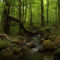
The summit can be reached on foot via marked hiking trails, including the European long-distance trail E3, which passes close to the rock faces. The paths are well signed, but sturdy footwear is recommended as the terrain can be uneven in places.
The basanite at Bilstein contains fragments of rock from Earth's upper mantle, carried up by the volcanic movement that formed the summit. Such deep-earth samples are rarely found at the surface, making the outcrop of interest to geologists studying what lies far below the ground.
The community of curious travelers
AroundUs brings together thousands of curated places, local tips, and hidden gems, enriched daily by 60,000 contributors worldwide.