Taufstein, Volcanic summit in Vogelsberg Mountains, Germany
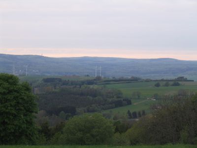
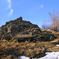
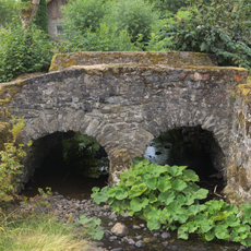
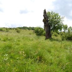
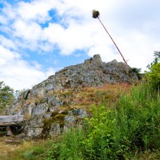
Taufstein is a volcanic mountain peak in the Vogelsberg range and reaches 773 meters as the highest point of this chain. The terrain is marked by volcanic rock formations and offers hiking paths accessible from different directions.
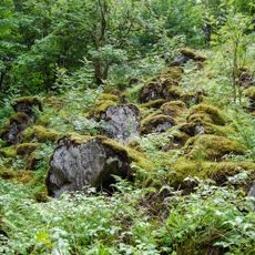
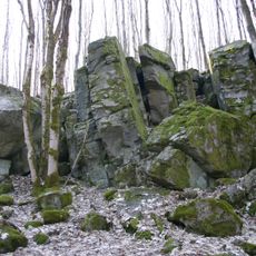
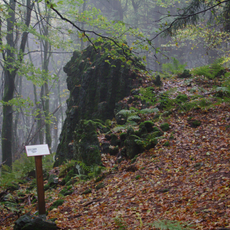
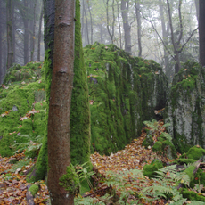
The mountain was shaped by volcanic activity approximately 19 million years ago and forms part of Central Europe's largest basalt deposit. This geological origin created the distinctive rock structures that define the landscape today.
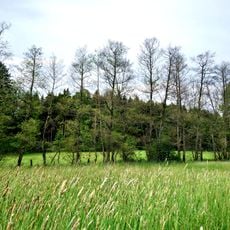
The mountain draws people from the surrounding region who come to walk its paths and enjoy the views. It shapes the local landscape and serves as a gathering place for those who spend time outdoors.
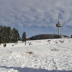
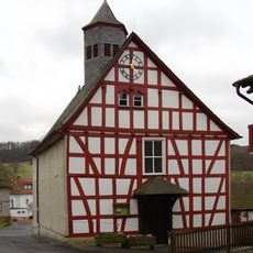
The summit is reached via well-marked hiking trails suitable for different fitness levels. A restaurant nearby offers a chance to rest and get food during your visit.
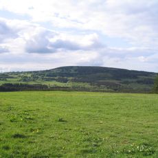
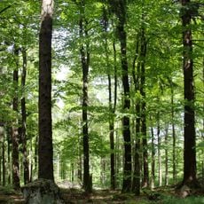
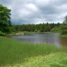
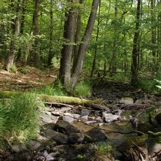
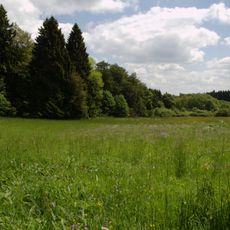
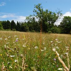
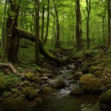
The area around the summit is home to old beech forests that are protected and provide a natural space for the senses. These woods are part of a nature reserve established in 1906 to preserve the range of local plant life.
Location: Hesse
Elevation above the sea: 773 m
GPS coordinates: 50.51721,9.23838
Latest update: December 8, 2025 13:44
Hoherodskopf
1 km
Bilstein
3.4 km
Fernmeldeturm Hoherodskopf
1.1 km
Herchenhainer Höhe
4.3 km
Sieben Ahorn
2.2 km
Bismarck Tower
2 m
Hoherodskopf
1.1 km
Evangelische Kirche Busenborn
4.3 km
Evangelische Kirche Rudingshain
4.6 km
Evangelische Kirche Breungeshain
2.6 km
Evangelische Kirche Feldkrücken
5.4 km
Evangelische Kirche Michelbach
5.8 km
Der Bilstein bei Busenborn
3.5 km
Naturschutzgebiet Oberes Niddatal/Forellenteiche
1.9 km
Wannersbruch
2.6 km
Brücken über die Nidder
5.5 km
Naturschutzgebiet Ernstberg bei Sichenhausen
4.6 km
Naturschutzgebiet In der Breungeshainer Heide
1.7 km
Blockfelder am Taufstein
91 m
Am Bilstein bei Breungeshain und Busenborn
3 km
Naturschutzgebiet Auf der langen Galle bei Rudingshain
4.4 km
Evangelische Kirche Lanzenhain
5.3 km
Ehem. Schule
5.3 km
Die Uhuklippen von Ilbeshausen
4.7 km
Niddahänge östlich Rudingshain
2.6 km
Vogelsberg
4.3 km
Das Gesicht, Felsgruppe bei Grebenhain
4.6 km
Die Bonifatiuskanzel von Herchenhain
4.6 kmVisited this place? Tap the stars to rate it and share your experience / photos with the community! Try now! You can cancel it anytime.
Discover hidden gems everywhere you go!
From secret cafés to breathtaking viewpoints, skip the crowded tourist spots and find places that match your style. Our app makes it easy with voice search, smart filtering, route optimization, and insider tips from travelers worldwide. Download now for the complete mobile experience.
A unique approach to discovering new places❞
— Le Figaro
All the places worth exploring❞
— France Info
A tailor-made excursion in just a few clicks❞
— 20 Minutes