
Nattwerder, human settlement in Germany
Location: Grube [Potsdam]
Elevation above the sea: 30 m
Part of: Grube [Potsdam]
GPS coordinates: 52.42520,12.93840
Latest update: March 5, 2025 18:27

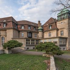
Schloss Marquardt
4 km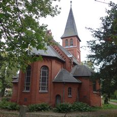
Village church Marquardt
4 km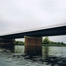
Havelbrücke Werder
1.9 km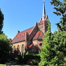
Dorfkirche Golm
2.5 km
Werder (Havel) train station
3.7 km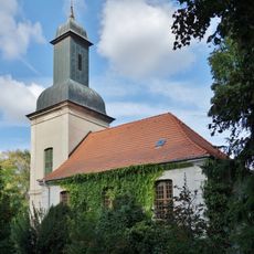
Village church Grube (Potsdam)
1.3 km
Kleiner Entenfängerteich
4.6 km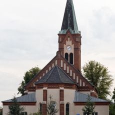
St. Maria Meeresstern (Werder (Havel))
5 km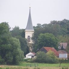
Dorfkirche Eiche
4.4 km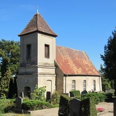
Alte Kirche Golm
2.5 km
Räuberberg
4.6 km
Dorfkirche Bornim
4.2 km
Forsthaus Entenfang
4.7 km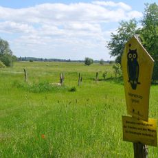
Wolfsbruch
1.5 km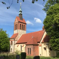
Dorfkirche Uetz (Potsdam)
4.9 km
Village church Phöben
3.9 km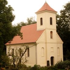
Dorfkirche Nattwerder
61 m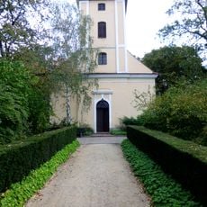
Dorfkirche Töplitz
2.2 km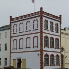
Bismarckhöhe
5 km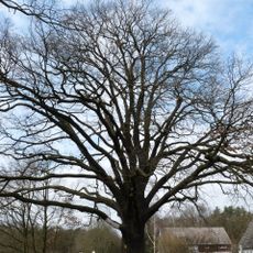
ND 292-01 Eiche in Kemnitz
4.3 km
ND 656-05 Eiche in Werder, Kemnitzer Chaussee
4.4 km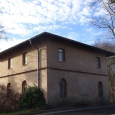
Chausseehaus Bornim
3.8 km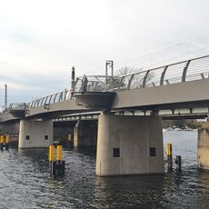
Fuß- und Radwegbrücke über die Havel in Werder
3.6 km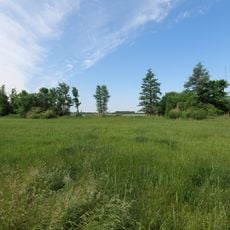
Streuwiesen bei Werder
4.8 km
Schulhaus
4.4 km
Wolfsbruch
1.2 km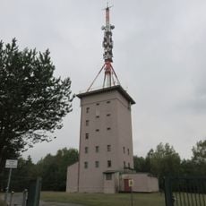
Radio tower Phöben
3.9 km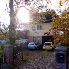
Landhaus Kyser
4.8 kmReviews
Visited this place? Tap the stars to rate it and share your experience / photos with the community! Try now! You can cancel it anytime.
Discover hidden gems everywhere you go!
From secret cafés to breathtaking viewpoints, skip the crowded tourist spots and find places that match your style. Our app makes it easy with voice search, smart filtering, route optimization, and insider tips from travelers worldwide. Download now for the complete mobile experience.

A unique approach to discovering new places❞
— Le Figaro
All the places worth exploring❞
— France Info
A tailor-made excursion in just a few clicks❞
— 20 Minutes