
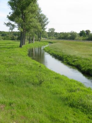
Schaaleniederung zwischen Zahrensdorf und Blücher, former nature reserve in Dömitz, Mecklenburg-Vorpommern, Germany
Location: Ludwigslust-Parchim District
Inception: 1990
GPS coordinates: 53.35489,10.82308
Latest update: March 5, 2025 04:07
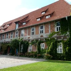
Elbschloss Bleckede
9.1 km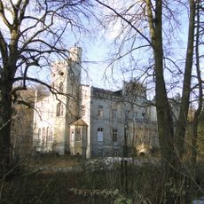
Manor in Gresse
9.7 km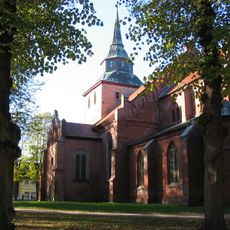
St. Marien, Boizenburg/Elbe
7 km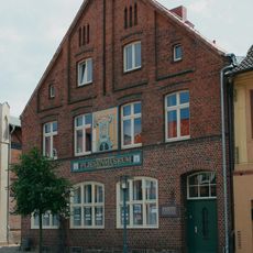
Fliesenmuseum Boizenburg
7.1 km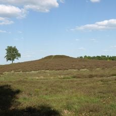
Bretziner Heide
7.1 km
Boizenburg Masonic Temple
6.9 km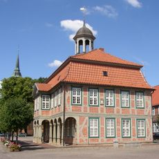
Rathaus Boizenburg/Elbe
7 km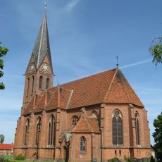
Church in Blücher
399 m
Jewish cemetery, Boizenburg/Elbe
7.8 km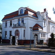
Villa Markttorstraße 9
6.8 km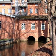
Mühlenteich
7.2 km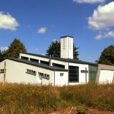
St. Maria Königin vom hl. Rosenkranz
9.4 km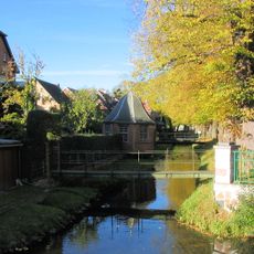
Wallanlage Boizenburg
7.1 km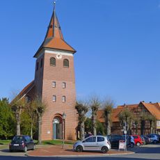
St. Jacobikirche
9.2 km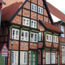
Klingbergstraße 39
7.2 km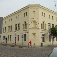
Heimatmuseum Boizenburg
7 km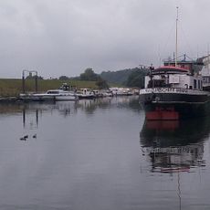
Kulturschiff Minna
7.5 km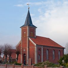
Chapel of Our Lady in Stiepelse
7.5 km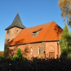
Church in Radegast bei Bleckede
6.5 km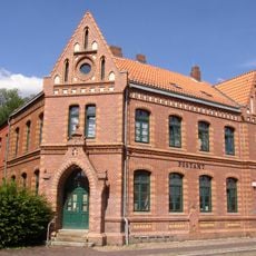
Postgebäude Boizenburg
6.8 km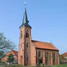
Kirche Sückau
9.7 km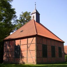
Kapelle Dersenow
5.3 km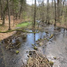
Schaalelauf
9.6 km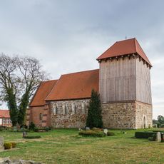
Church in Zahrensdorf
4.4 km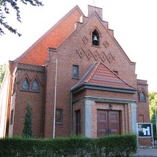
Heilig-Kreuz-Kirche
5.7 km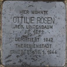
Stolperstein dedicated to Ottilie Rosen
9.3 km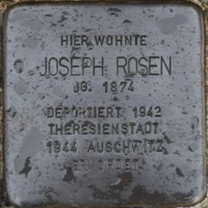
Stolperstein dedicated to Joseph Rosen
9.3 km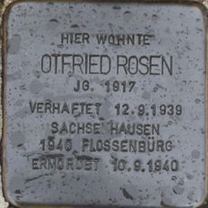
Stolperstein dedicated to Otfried Rosen
9.3 kmVisited this place? Tap the stars to rate it and share your experience / photos with the community! Try now! You can cancel it anytime.
Discover hidden gems everywhere you go!
From secret cafés to breathtaking viewpoints, skip the crowded tourist spots and find places that match your style. Our app makes it easy with voice search, smart filtering, route optimization, and insider tips from travelers worldwide. Download now for the complete mobile experience.

A unique approach to discovering new places❞
— Le Figaro
All the places worth exploring❞
— France Info
A tailor-made excursion in just a few clicks❞
— 20 Minutes