
Diensdorf-Radlow, municipality of Germany
Location: Oder-Spree District
Elevation above the sea: 45 m
Website: https://amt-scharmuetzelsee.de/verzeichnis/objekt.php?mandat=154445
GPS coordinates: 52.23306,14.05000
Latest update: March 8, 2025 03:56
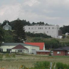
Lindenberg Meteorological Observatory
5.4 km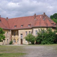
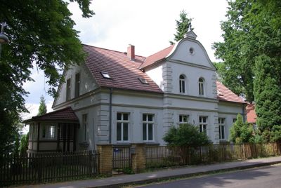
Schloss
5.8 km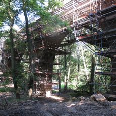
Lindenberger Viadukt
4.5 km
Christoph 49
5.8 km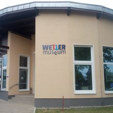
Wettermuseum Lindenberg
5.1 km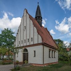
Village church Bad Saarow
6.7 km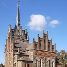
Village church Herzberg (Rietz-Neuendorf)
4.9 km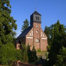
Village church Pieskow
3.9 km
Lamitsch
8.1 km
Village church Lindenberg (Tauche)
5.9 km
Village church Reichenwalde
5 km
Kanalwiesen Wendisch Rietz
4.2 km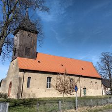
Village church Glienicke (Rietz-Neuendorf)
3.5 km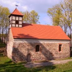
Village church Dahmsdorf
4.1 km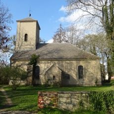
Village church Pfaffendorf (Rietz-Neuendorf)
8.5 km
Scharwenka Kulturforum
6.9 km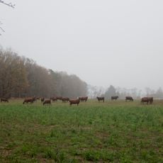
Scharmützelseegebiet
3.9 km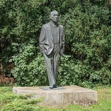
Johannes-R.-Becher-Denkmal
6.5 km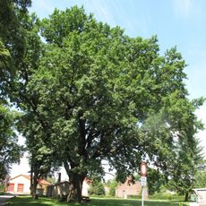
Friedenseiche Ahrensdorf
6.7 km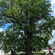
Naturdenkmal Eiche im Theresienhof in Bad Saarow
3.3 km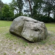
Naturdenkmal Findling Paschkeplatz in Bad Saarow
6.1 km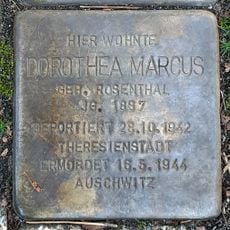
Stolperstein for Dorothea Marcus
6.5 km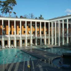
Thermalbad Bad Saarow (Saarow-Therme)
6.5 km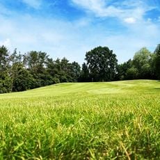
Arnold Palmer Golfplatz
2.3 km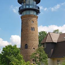
Wasserturm Bad Saarow
6.7 km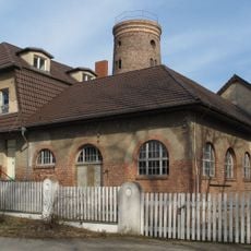
Wasserwerk Bad Saarow
6.6 km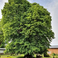
Linde auf Friedhof Lindenberg
5.9 km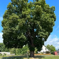
Naturdenkmal Linde in Diensdorf
1.4 kmVisited this place? Tap the stars to rate it and share your experience / photos with the community! Try now! You can cancel it anytime.
Discover hidden gems everywhere you go!
From secret cafés to breathtaking viewpoints, skip the crowded tourist spots and find places that match your style. Our app makes it easy with voice search, smart filtering, route optimization, and insider tips from travelers worldwide. Download now for the complete mobile experience.

A unique approach to discovering new places❞
— Le Figaro
All the places worth exploring❞
— France Info
A tailor-made excursion in just a few clicks❞
— 20 Minutes