
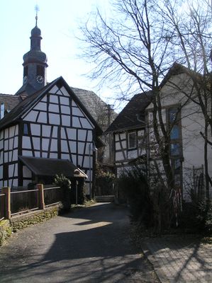
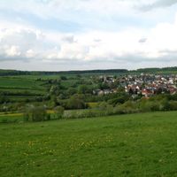
Waldems, Rheingau-Taunus municipality in Germany
Location: Rheingau-Taunus-Kreis
Inception: 1972
Elevation above the sea: 356 m
Website: https://waldems.de
GPS coordinates: 50.25028,8.31333
Latest update: March 6, 2025 20:23

Ringwall Waldems
5 km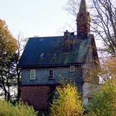
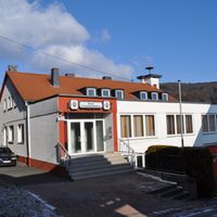
Alte Schule (Reichenbach)
5.1 km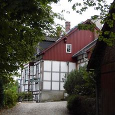
Tenne
5 km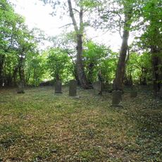
Jüdischer Friedhof
3.7 km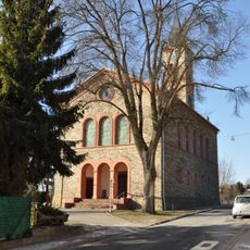
Evangelische Kirche Steinfischbach
3.4 km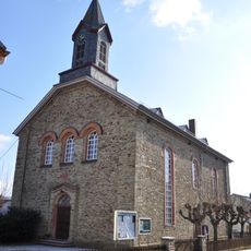
Protestant Church
4.9 km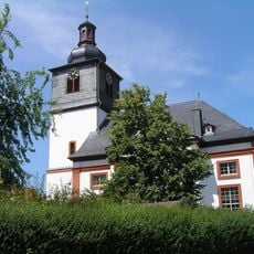
Evangelische Pfarrkirche Heftrich
3.5 km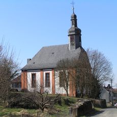
Protestant Church
126 m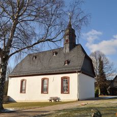
Evangelische Kirche Reinborn
3.5 km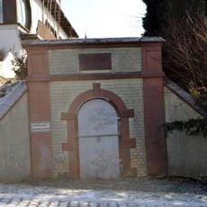
Wasserbehälter
3.8 km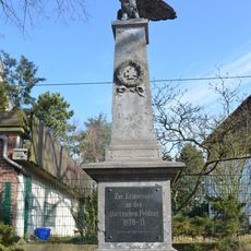
Kriegerdenkmal
306 m
Rodigstraße 3
4.6 km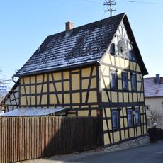
Ehemalige Schule
4.5 km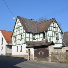
Hauptstraße 12
1.5 km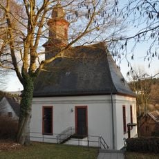
Evangelische Pfarrkirche
4.5 km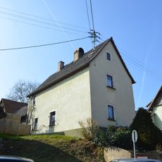
Hakenhofreite an der Ortsdurchfahrt
1.5 km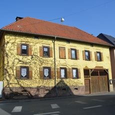
Hauptstraße 26
1.6 km
Brunnen
4.5 km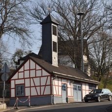
Feuerwehrhaus mit Viehwaage
5.4 km
Alte Schule
3.4 km
Hauptstraße 17
1.5 km
Schwalbacher Straße 19
123 m
Hammermühle
1 km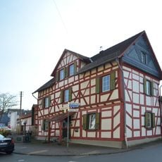
Hauptstraße 33
1.6 km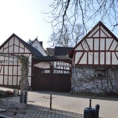
Feldbergstraße 23
5.5 km
Feldbergstraße 15
5.5 km
Ehemaliges Rathaus
5.4 km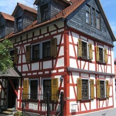
Langgasse 30
3.5 kmReviews
Visited this place? Tap the stars to rate it and share your experience / photos with the community! Try now! You can cancel it anytime.
Discover hidden gems everywhere you go!
From secret cafés to breathtaking viewpoints, skip the crowded tourist spots and find places that match your style. Our app makes it easy with voice search, smart filtering, route optimization, and insider tips from travelers worldwide. Download now for the complete mobile experience.

A unique approach to discovering new places❞
— Le Figaro
All the places worth exploring❞
— France Info
A tailor-made excursion in just a few clicks❞
— 20 Minutes