
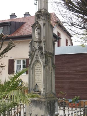
Bildstock Schlingen, neugotischer Bildstock mit Kruzifix und Einfriedung, bezeichnet „1847“
Location: Bad Wörishofen
Address: Nähe Allgäuer Straße, in Ortsmitte
GPS coordinates: 47.97040,10.62140
Latest update: March 5, 2025 13:43
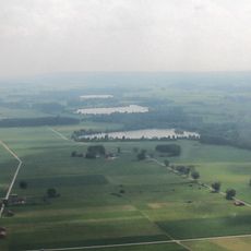
Bingstetter See
2.7 km
St. Rasso
3.3 km
Hl. Kümmernis
3 km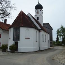
St. Christophorus
1.7 km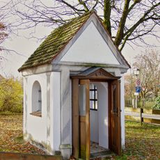
Kerkerkapelle
3.9 km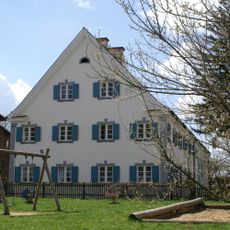
Pfarrhaus
3.7 km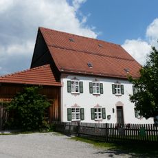
Ehemals Pfarrhaus
3.9 km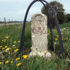
Grenzstein Frankenhofen-Stockheim
2.4 km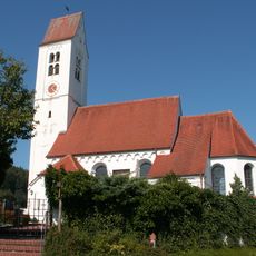
Katholische Pfarrkirche St. Agatha
3.9 km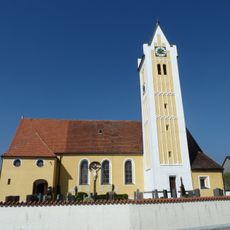
Katholische Pfarrkirche St. Martin (Rieden bei Kaufbeuren)
2.8 km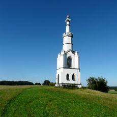
Ridmonument
3.4 km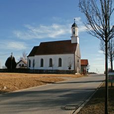
Katholische Kapelle St. Sebastian
3.3 km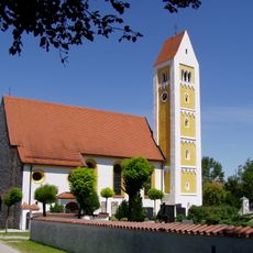
Pfarrkirche St. Laurentius
3.2 km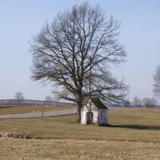
Feldkapelle
3.4 km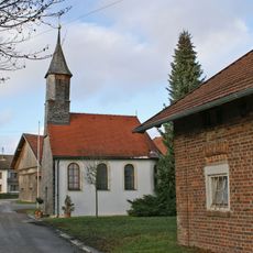
Katholische Kapelle St. Joachim
3.1 km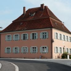
Pfarrhaus Schlingen
69 m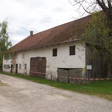
Frankenhofenerstraße 12 (Schlingen)
87 m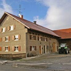
Bauernhaus
2.8 km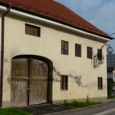
Ausleger
32 m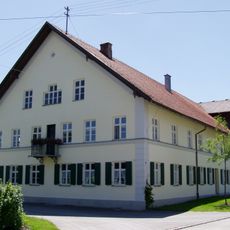
Bauernhof
3.4 km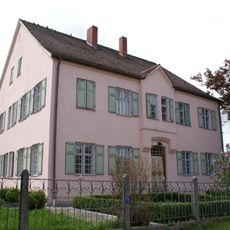
Ehem. Pfarrhaus
3.3 km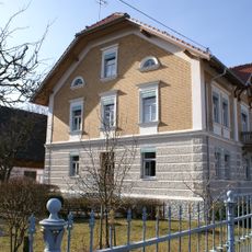
Wohnhaus eines Bauernhofs
3.2 km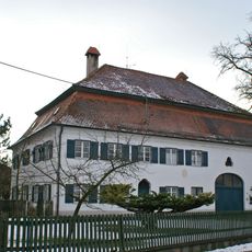
Pfarrhaus
2.8 km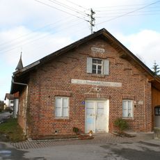
Ehem. Käserei
3.1 km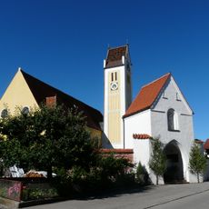
Torturm
2.8 km
Wohnhaus
3.7 km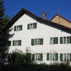
Wohnteil eines ehemaligen Bauernhauses
3.6 km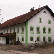
Bauernhaus
2.7 kmVisited this place? Tap the stars to rate it and share your experience / photos with the community! Try now! You can cancel it anytime.
Discover hidden gems everywhere you go!
From secret cafés to breathtaking viewpoints, skip the crowded tourist spots and find places that match your style. Our app makes it easy with voice search, smart filtering, route optimization, and insider tips from travelers worldwide. Download now for the complete mobile experience.

A unique approach to discovering new places❞
— Le Figaro
All the places worth exploring❞
— France Info
A tailor-made excursion in just a few clicks❞
— 20 Minutes