
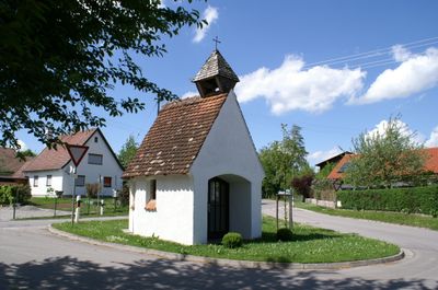
Katholische Kapelle Maria Hilf, 19. Jahrhundert
Location: Waal
Address: Krautgarten,Ziegelstadel 2
GPS coordinates: 48.01257,10.79436
Latest update: March 5, 2025 12:36
Burgstall Emmenhausen
1.8 km
Schloss Emmenhausen
2 km
Koppenhofer Straße 5
1.9 km
Pfarrhaus
2.2 km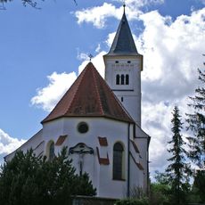
St. Alban
1.9 km
Pfarrkirche Category:St. Ulrich (Emmenhausen)
1.8 km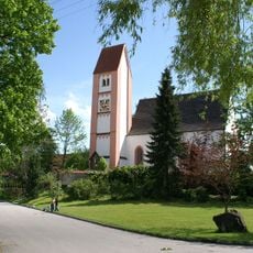
Pfarrkirche St. Margareth
599 m
Kapelle
1.4 km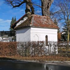
Wegkapelle
1.9 km
Cultural heritage D-7-7930-0047 in Waal (Schwaben)
459 m
Bauernhaus
2 km
Bauernhaus
1.9 km
Cultural heritage D-7-8030-0012 in Waal (Schwaben)
2.2 km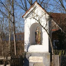
Bildstock
2.3 km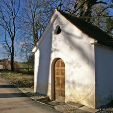
Katholische Kapelle
2.2 km
Ehemaliges Bauernhaus
1.8 km
Wasserwerk Erpfting
2.2 km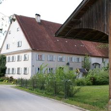
Bauernhaus
2 km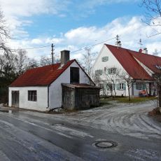
Bauernhaus
486 m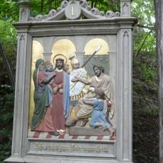
Kalvarienberg
1.8 km
Cultural heritage D-1-7930-0020 in Landsberg am Lech
1.8 km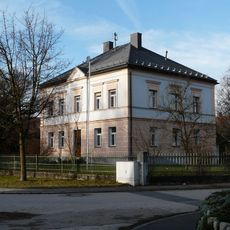
Pfarrhaus
1.9 km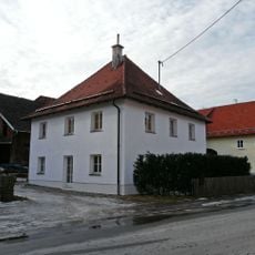
Walmdachhaus
2.3 km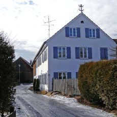
Bauernhaus
1.9 km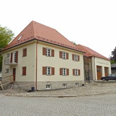
Sogenanntes Polizeigebäude
2.3 km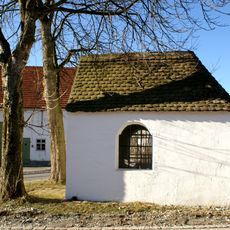
Kapelle St. Magdalena
2.2 km
Wohnhaus
2.2 km
Cultural heritage D-7-7930-0045 in Waal (Schwaben)
804 mVisited this place? Tap the stars to rate it and share your experience / photos with the community! Try now! You can cancel it anytime.
Discover hidden gems everywhere you go!
From secret cafés to breathtaking viewpoints, skip the crowded tourist spots and find places that match your style. Our app makes it easy with voice search, smart filtering, route optimization, and insider tips from travelers worldwide. Download now for the complete mobile experience.

A unique approach to discovering new places❞
— Le Figaro
All the places worth exploring❞
— France Info
A tailor-made excursion in just a few clicks❞
— 20 Minutes