
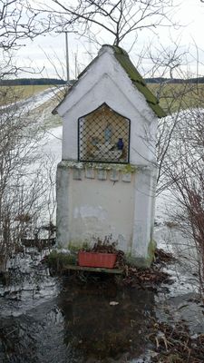
Bildstock, mitte 19. Jahrhundert
Location: Waal
Address: am Nordrand des Dorfes.
GPS coordinates: 47.97398,10.78950
Latest update: October 17, 2025 10:40

Schloss Waal
2.4 km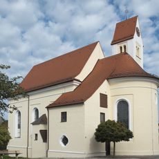
Zur Schmerzhaften Muttergottes (Waalhaupten)
397 m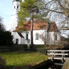
Filialkirche St. Nikolaus (Waal, Allgäu)
2.4 km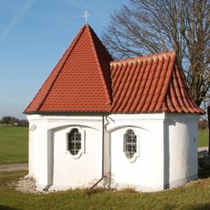
Katholische Kapelle Vierzehn Nothelfer
2.1 km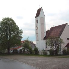
Katholische Pfarrkirche St. Rupert von Salzburg
2.3 km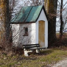
Wegkapelle
2.2 km
Malura-Museum Oberdießen
2.4 km
Cultural heritage D-7-8030-0012 in Waal (Schwaben)
2.5 km
Bauernhaus
631 m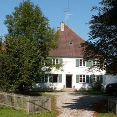
Ehemaliges Bauernhaus
2.5 km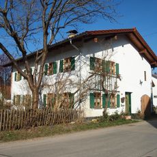
Ehemaliges Kleinbauernhaus
2.4 km
Cultural heritage D-7-8030-0008 in Waal (Schwaben)
2.4 km
Field monument in Waal (D-7-8030-0142)
2 km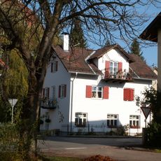
Ehemalige Schmiede
2.5 km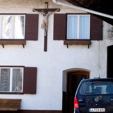
Hausfigur
2.2 km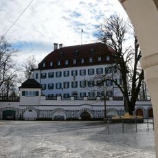
Schloss
2.4 km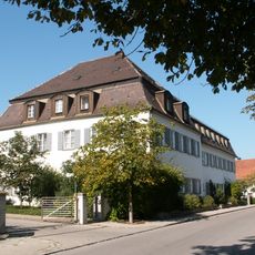
Ehemals Schlößle
2.5 km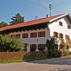
Bauernhaus
2.4 km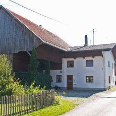
Ehemaliges Bauernhaus
2.4 km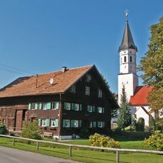
Bauernhaus
2.4 km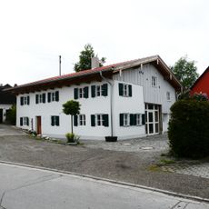
Bauernhaus
2.3 km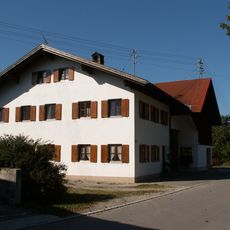
Bauernhaus
241 m
Gasthaus
263 m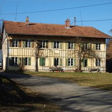
Ehemaliges Bauernhaus, dann Schulhaus
2.3 km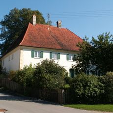
Pfarrhaus
296 m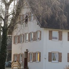
Hausfigur
610 m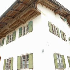
Bauernhaus
551 m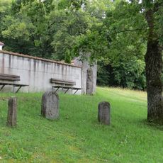
Drei Grenzsteine
892 mReviews
Visited this place? Tap the stars to rate it and share your experience / photos with the community! Try now! You can cancel it anytime.
Discover hidden gems everywhere you go!
From secret cafés to breathtaking viewpoints, skip the crowded tourist spots and find places that match your style. Our app makes it easy with voice search, smart filtering, route optimization, and insider tips from travelers worldwide. Download now for the complete mobile experience.

A unique approach to discovering new places❞
— Le Figaro
All the places worth exploring❞
— France Info
A tailor-made excursion in just a few clicks❞
— 20 Minutes