
Teil einer ehemaligen Mühle
Teil einer ehemaligen Mühle, zweigeschossiger Massivbau mit Satteldach, Fachwerkobergeschoss und Umschrot, um 1800
Location: Bad Neualbenreuth
Address: Maiersreuth 4
GPS coordinates: 49.98713,12.41130
Latest update: April 30, 2025 21:35
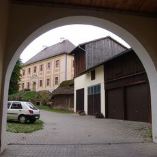
Schloss Hardeck
438 m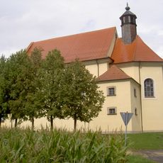
Kleine Kappl
2.2 km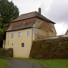
Schloss Ottengrün
2.7 km
Sankt Laurentius
2.3 km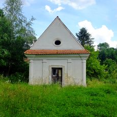
Chapel in Mýtina
3 km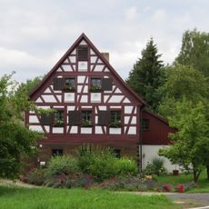
Försterhaus, sogenanntes Egerer Forsthaus
3 km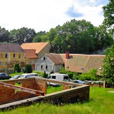
Mýtina 3
3 km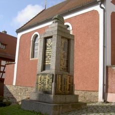
Kriegerdenkmal für die Gefallenen des Ersten Weltkriegs
2.3 km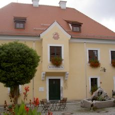
Ehemaliges Egerer Amtshaus, 1830–1910 Schule, seit 1911 Rathaus
2.4 km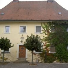
Katholisches Pfarrhaus, ehemals auch Schule
2.2 km
Wohnstallhaus
2.4 km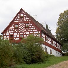
Wohnstallhaus eines Vierseithofes
2.8 km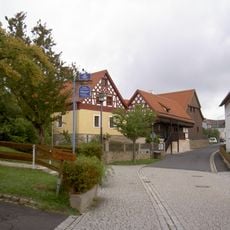
Neualbenreuth Turmstraße 5 und 7
2.4 km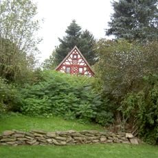
Wohnstallhaus eines ehemaligen Vierseithofs
2.7 km
Ehemaliger Wohnteil eines Bauernhauses, seit 1886 Gasthaus
2.7 km
Ausnahmshaus eines Hakenhofes
2.7 km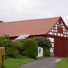
Stadel eines Vierseithofes
2.7 km
Wohnhaus
2.5 km
Wohnstallhaus eines Vierseithofes
2.8 km
Ehemaliges Gasthaus
2.4 km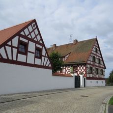
Ehemaliges Schulhaus
2.3 km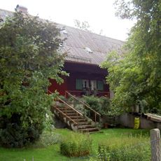
Gradlhof
2.9 km
Wohnhaus eines Vierseithofes
2.4 km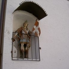
Hausfigur des heiligen Florian
2.4 km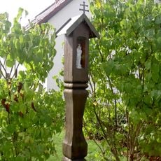
Hölzerner Säulenbildstock
2.5 km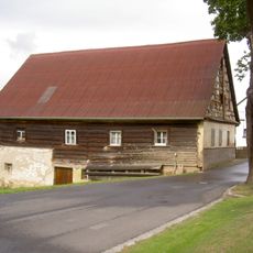
Ehemaliges Wirtshaus
2.7 km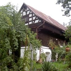
Wohnstallhaus
2.7 km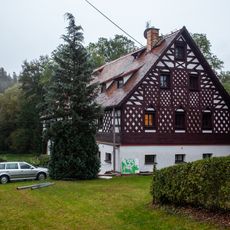
Usedlost čp. 25
2.9 kmReviews
Visited this place? Tap the stars to rate it and share your experience / photos with the community! Try now! You can cancel it anytime.
Discover hidden gems everywhere you go!
From secret cafés to breathtaking viewpoints, skip the crowded tourist spots and find places that match your style. Our app makes it easy with voice search, smart filtering, route optimization, and insider tips from travelers worldwide. Download now for the complete mobile experience.

A unique approach to discovering new places❞
— Le Figaro
All the places worth exploring❞
— France Info
A tailor-made excursion in just a few clicks❞
— 20 Minutes