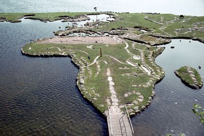
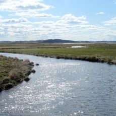
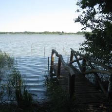
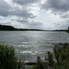
World Map at Lake Klejtrup, Physical world map model near Klejtrup, Denmark.
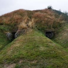
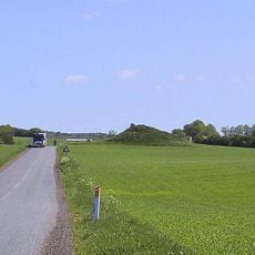
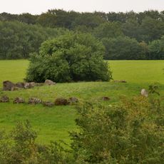
The World Map at Lake Klejtrup is an outdoor model built with stones and grass across a large area, representing Earth's continents along the lakeshore. The grounds are designed to be walked through, allowing visitors to move between different continents and observe their geographic placement up close.
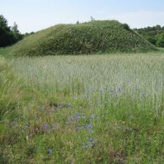
Danish farmer Søren Poulsen started creating this geographical representation in the 1940s after finding a stone shaped like the Jutland peninsula during his field work. He continued developing this project over several decades, gradually transforming his initial idea into the structure visible today.
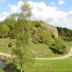
The map displays flags representing each nation and was created by a Danish farmer whose personal view of the world shaped its design. Visitors walking through it can see how one person's perspective on global geography found expression in this outdoor project.
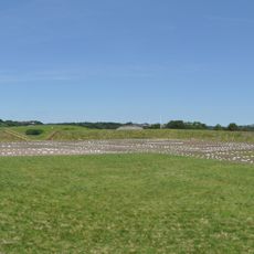
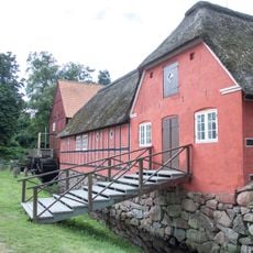
The grounds are easy to explore on foot and offer visitors a friendly environment with cafes, play areas, and picnic spots for rest. The best time to visit is during dry weather, since walking through the model involves moving across unpaved pathways.
The model uses red poles to mark the equator and displays the Northern Hemisphere twice to preserve accurate distance proportions between regions. This unusual cartographic approach helps visitors understand both the shape and the actual proportional distances between continents.
The community of curious travelers
AroundUs brings together thousands of curated places, local tips, and hidden gems, enriched daily by 60,000 contributors worldwide.