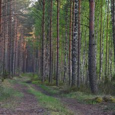
Vehrulitsa Hillfort, hillfort in Estonia
Location: Setomaa Rural Municipality
GPS coordinates: 57.93273,27.65559
Latest update: November 15, 2025 04:48
Mustoja Nature Park
3.7 km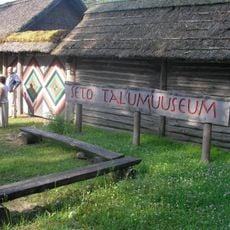
Värska Farm Museum
1.1 km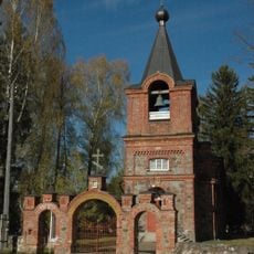
Värska orthodox church
3.4 km
Saatse orthodox church
9.6 km
Laossina kalmistu
11.7 km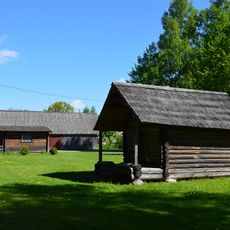
Mikitamäe vana tsässon
10.2 km
Verhulitsa Laudsi pettäi
838 m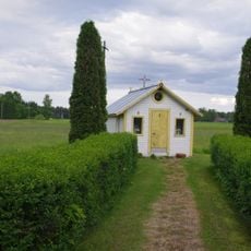
Treski tsässon
4.5 km
Podmotsa tsässon
8.4 km
Laossina tsässon
11.7 km
Säpina tsässon
9.9 km
Podmotsa Cemetery
8.4 km
Värska Cemetery
3.4 km
Mikitamäe uus tsässon
10.2 km
Usinitsa tsässon
10.1 km
Väike-Rõsna tsässon
6.5 km
Mikitamäe Cemetery
10.4 km
Suure-Rõsna tsässon
7.6 km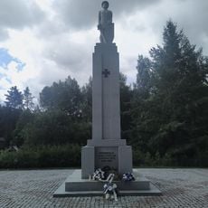
Monument to the War of Independence in Värska (Petserimaa)
3.1 km
Värska Spa beach
6.3 km
National Geographicu Yellow Frame
8.3 km
Laossina beach
11.6 km
Viljakusjumal Peko
6.3 km
Saatse muuseum
10.2 km
Peko
10.4 km
Ruins
10.9 km
Peko
7.1 km
Mikitamäe küla ja kalmistu XIII sajand
10.2 kmReviews
Visited this place? Tap the stars to rate it and share your experience / photos with the community! Try now! You can cancel it anytime.
Discover hidden gems everywhere you go!
From secret cafés to breathtaking viewpoints, skip the crowded tourist spots and find places that match your style. Our app makes it easy with voice search, smart filtering, route optimization, and insider tips from travelers worldwide. Download now for the complete mobile experience.

A unique approach to discovering new places❞
— Le Figaro
All the places worth exploring❞
— France Info
A tailor-made excursion in just a few clicks❞
— 20 Minutes