
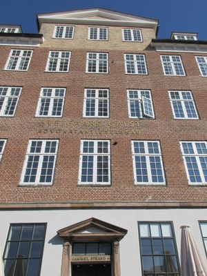
Gammel Strand 44, building in Copenhagen
Location: Copenhagen Municipality
Inception: 1797
GPS coordinates: 55.67768,12.57808
Latest update: March 23, 2025 02:12

Amagertorv 11
105 m
Klostergården
90 m
Fishwife
81 m
Gammel Strand 42
11 m
Læderstræde 5
69 m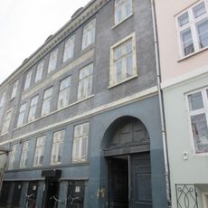
Læderstræde 11
40 m
Gammel Strand 46
17 m
Gammel Strand 40
22 m
Henriette Melchiors Stiftelse
73 m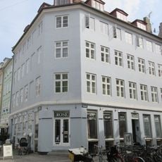
Naboløs 1
63 m
Gammel Strand 36
38 m
Gammel Strand 38
30 m
Naboløs 2
75 m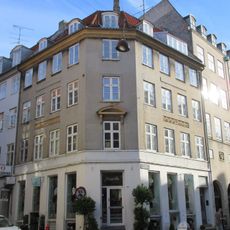
Læderstræde 36
72 m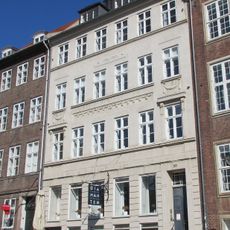
Gammel Strand 50
43 m
Gammel Strand
29 m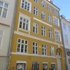
Kompagnistræde 24
52 m
Gammel Strand 52
54 m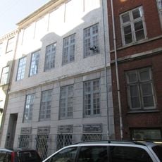
Naboløs 4/Snaregade 6
75 m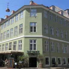
Kompagnistræde 2
87 m
Royal Pawn
88 m
Hyskenstræde 9
82 m
Hyskenstræde 16
94 m
Kompagnistræde 7
104 m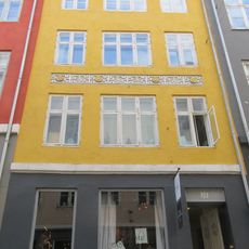
Hyskenstræde 14
100 m
Kompagnistræde 4
95 m
Kompagnistræde 5
93 m
Snaregade 6
98 mReviews
Visited this place? Tap the stars to rate it and share your experience / photos with the community! Try now! You can cancel it anytime.
Discover hidden gems everywhere you go!
From secret cafés to breathtaking viewpoints, skip the crowded tourist spots and find places that match your style. Our app makes it easy with voice search, smart filtering, route optimization, and insider tips from travelers worldwide. Download now for the complete mobile experience.

A unique approach to discovering new places❞
— Le Figaro
All the places worth exploring❞
— France Info
A tailor-made excursion in just a few clicks❞
— 20 Minutes