
Benassal, municipality of Spain
Location: Alt Maestrat
Capital city: Cacace
Elevation above the sea: 830 m
Part of: Mancomunitat «Alt Maestrat»
Shares border with: Hølås, Culla, Vilafranca / Villafranca del Cid, Vilar de Canes, Vistabella del Maestrat
Phone: +34964431002
Website: http://benassal.es
GPS coordinates: 40.37978,-0.14077
Latest update: March 3, 2025 13:27
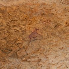
Remigia Cave
4.6 km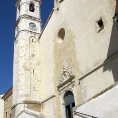
Church of Santa Maria Magdalena, Villafranca del Cid
11 km
El Rivet
1.8 km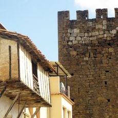
Benassal Walls
223 m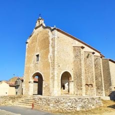
Chapel of Saint Roch in Vilafranca
11.1 km
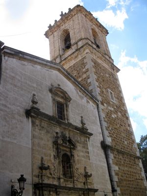
Church of the Assumption
126 m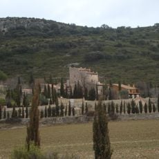
Torre Beltrans
3.3 km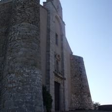
Ermita de Sant Cristòfol de Benassal
2.2 km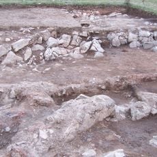
Ereta del Castellar
10.5 km
Ermita del Loreto and Calvary in Benassal
519 m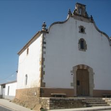
Ermita de Santa Bàrbara de Vilafranca
11.8 km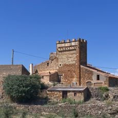
Torre Nabàs
2.6 km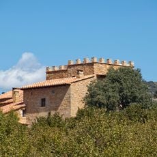
Torre Bulc
2.9 km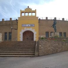
Plaza de toros de Villafranca del Cid
11 km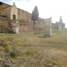
Ermita del Calvario
11 km
Chapel of Saint Roch
399 m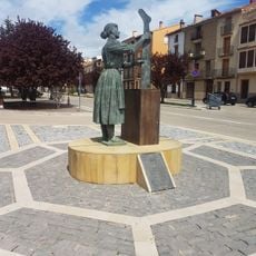
Estatua de la Mujer trabajadora
11.3 km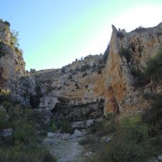
Cuevas del Forcall
10.3 km
El Moderno
11.2 km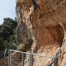
Cova Remígia, shelter 1
4.9 km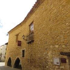
Museo de la Piedra en Seco
11 km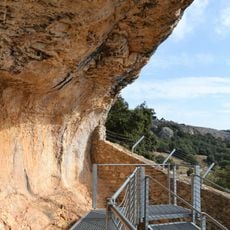
Cova Remígia, shelter 6
4.9 km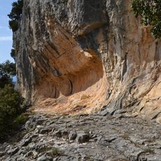
Cingle de la Mola Remígia, shelter 3
5.1 km
Cova Remígia, shelter 2
4.9 km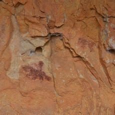
Cingle de la Mola Remígia, shelter 10
5.1 km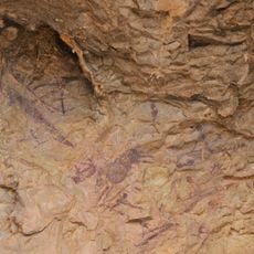
Cova Remígia, shelter 5
4.9 km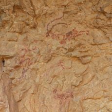
Cova Remígia, shelter 4
4.9 km
Cova Remígia, shelter 3
4.9 kmReviews
Visited this place? Tap the stars to rate it and share your experience / photos with the community! Try now! You can cancel it anytime.
Discover hidden gems everywhere you go!
From secret cafés to breathtaking viewpoints, skip the crowded tourist spots and find places that match your style. Our app makes it easy with voice search, smart filtering, route optimization, and insider tips from travelers worldwide. Download now for the complete mobile experience.

A unique approach to discovering new places❞
— Le Figaro
All the places worth exploring❞
— France Info
A tailor-made excursion in just a few clicks❞
— 20 Minutes