
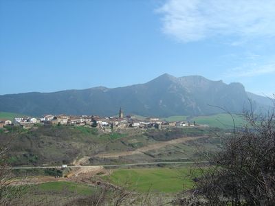
Aguilar de Codés, municipality of Spain
Location: Navarre
Location: Merindade of Estella-Lizarra
Location: Estella Occidental
Capital city: Aguilar de Codés
Elevation above the sea: 731 m
Part of: Mancomunitat de Montejurra, Kodes Mendilerroko Administrazio Zerbitzuen Mankomunitatea, Mancomunitat de Serveis Socials de Base de la Zona de Los Arcos, non-Basque-speaking zone of Navarre
Shares border with: Aras, Azuelo, Cabredo, Genevilla, Marañón, Campezo/Kanpezu, Viana, Oyón-Oion, Lapoblación
GPS coordinates: 42.61278,-2.38917
Latest update: April 3, 2025 14:22
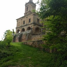
Santuario de Codes
4.5 km
Joar
4.1 km
Longar
3.9 km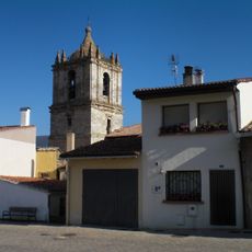
Church of La Asunción de Nuestra Señora, Santa Cruz de Campezo
7 km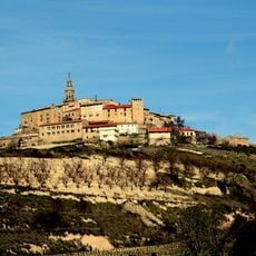
Labraza Walls
5.6 km
Castillo de Lapoblación
6 km
Muela
7.3 km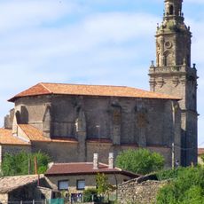
Done Mikel eliza (Labraza)
5.6 km
Puerta De La Concepción
5.6 km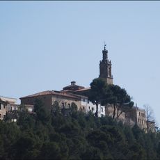
Wall of Torralba del Río
4.8 km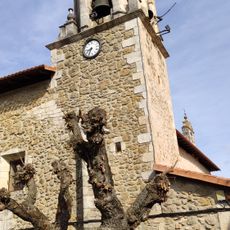
Jasokundearen eliza, Bujanda
7 km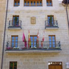
Town hall of Oyón
5.6 km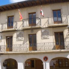
Casa consistorial de Campezo
7.1 km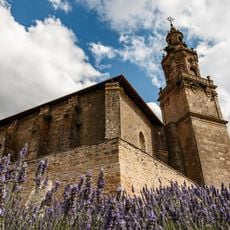
Iglesia De San Miguel Arcangel
5.6 km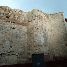
Restos Del Castillo
5.6 km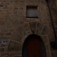
Casa San Roque 14
5.6 km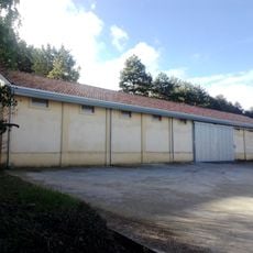
Granero de Aguilar de Codés
655 m
Casa San Miguel 4
5.6 km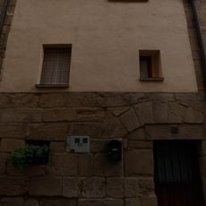
Casa San Roque 20
5.6 km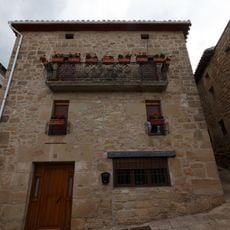
Casa Mayor 9
5.6 km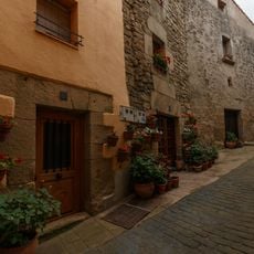
Casa San Miguel 2
5.6 km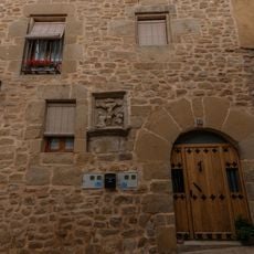
Casa Mayor 5
5.6 km
Casa San Roque 22
5.6 km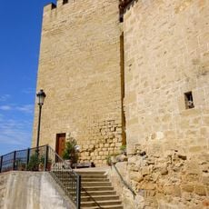
Muralla
5.6 km
Granero de Santa Cruz de Campezo
6.9 km
Casa San Roque 12
5.6 km
Casa San Roque 18
5.6 km
Casa Plaza Alta 2
5.6 kmReviews
Visited this place? Tap the stars to rate it and share your experience / photos with the community! Try now! You can cancel it anytime.
Discover hidden gems everywhere you go!
From secret cafés to breathtaking viewpoints, skip the crowded tourist spots and find places that match your style. Our app makes it easy with voice search, smart filtering, route optimization, and insider tips from travelers worldwide. Download now for the complete mobile experience.

A unique approach to discovering new places❞
— Le Figaro
All the places worth exploring❞
— France Info
A tailor-made excursion in just a few clicks❞
— 20 Minutes