
Robres del Castillo, municipality of Spain
Location: La Rioja
Capital city: Robres del Castillo
Elevation above the sea: 727 m
Part of: Mancomunitat Turística Valles de Ocón, Jubera, Leza y Cidacos
Shares border with: Santa Engracia del Jubera, Ocón, Arnedillo, Munilla
Website: http://robresdelcastillo.org
GPS coordinates: 42.27361,-2.29167
Latest update: March 4, 2025 00:20

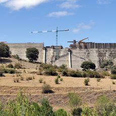
Enciso Dam
14.4 km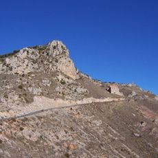
Monte Laturce
13.6 km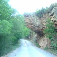
Valles del Leza, Jubera, Cidacos and Alhama
15.3 km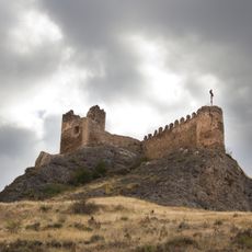
Castle of Clavijo
14.1 km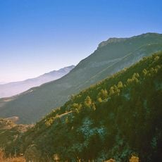
Peñalmonte
11.7 km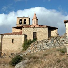
Iglesia de Santa María de la Estrella
13.9 km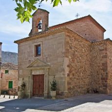
Ermita de la Virgen de la Cuesta
11.9 km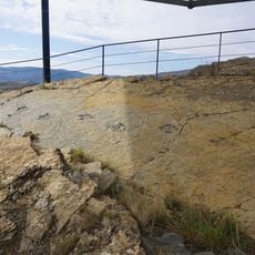
Yacimiento de Peñaportillo
8.8 km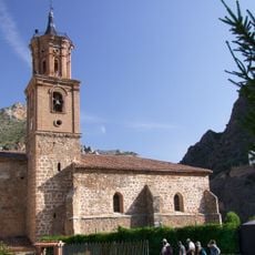
Church of San Servando and San Germán, Arnedillo
8.3 km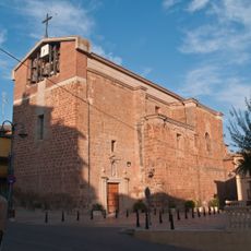
Church of San Pedro, Ribafrecha
12 km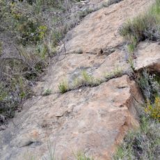
Paleontological site of Valdemurillo
14 km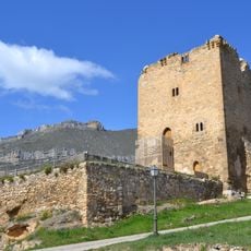
Castle of Préjano
13.3 km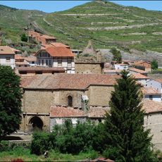
Iglesia de San Pedro Apóstol
14 km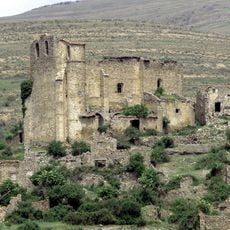
Iglesia del Dulce Nombre de María o de Santa María la Blanca
13.1 km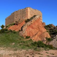
Castle of Herce
11.8 km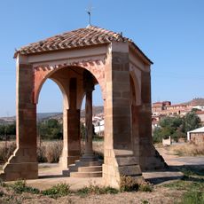
Crucero de Corera
9.9 km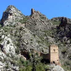
Castle of Arnedillo
8.2 km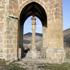
Crucero de la Concepción
13.6 km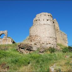
Castle of Enciso
13.9 km
Crucero de Munilla
9.5 km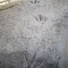
Valdecevillo site
15.5 km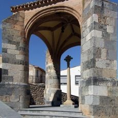
Crucero de Préjano
13.5 km
Castillo de Robres
208 m
Valdemurillo
14 km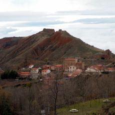
Castillo de Ocón
4.9 km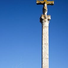
Crucero de San Román de Cameros
15.6 km
Virgen del Campo site
14.3 km
Ermita de San Martín de Leza
11.5 kmReviews
Visited this place? Tap the stars to rate it and share your experience / photos with the community! Try now! You can cancel it anytime.
Discover hidden gems everywhere you go!
From secret cafés to breathtaking viewpoints, skip the crowded tourist spots and find places that match your style. Our app makes it easy with voice search, smart filtering, route optimization, and insider tips from travelers worldwide. Download now for the complete mobile experience.

A unique approach to discovering new places❞
— Le Figaro
All the places worth exploring❞
— France Info
A tailor-made excursion in just a few clicks❞
— 20 Minutes