
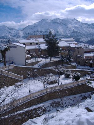
Benimassot, municipality of Spain
Location: Comtat
Capital city: Benimassot
Elevation above the sea: 729 m
Shares border with: Balones, Fageca, Planes, Quatretondeta, Tollos, La Vall d'Alcalà
Website: http://benimassot.es
GPS coordinates: 38.75000,-0.28306
Latest update: April 3, 2025 03:04
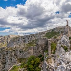
Castell de Benissili
6.7 km
Castell de Margarida
3.5 km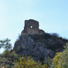
Castell de Travadell
7.9 km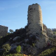
Castell de Seta
3.2 km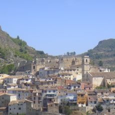
Castle of Planes
6.7 km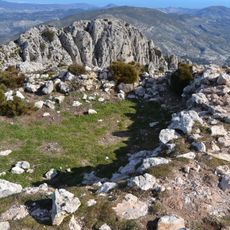
Torre del Pla de la Casa
4.3 km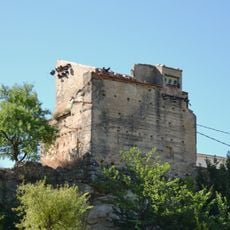
Torre de Millena
7.1 km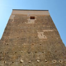
Torre d'Almudaina
6.3 km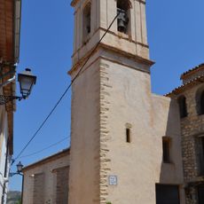
Church of the Immaculate
3.3 km
Church of Saint Bartholomew
6.3 km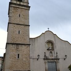
Church of the Assumption, Planes
6.6 km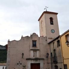
Church of the Holy Spirit
2.2 km
Església de la Puríssima Concepció de Benimassot
797 m
Església de Sant Vicent Ferrer de l'Abdet
6.6 km
Església de la Puríssima Concepció d'Alcalà de la Jovada
5.6 km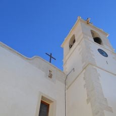
Església de Sant Francesc d'Assís de Balones
5.4 km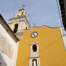
Church of Saint Cajetan
3.8 km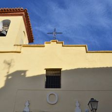
Church of Saint Anne
4.2 km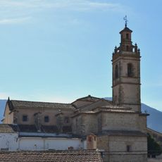
Church of the Assumption
7.3 km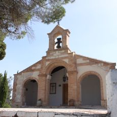
Ermita del Crist de Planes
6.7 km
Church of Saint Joseph, Milena
7.3 km
Església de Sant Francesc de Margarida
4.5 km
Església de Sant Josep de Catamarruc
4.8 km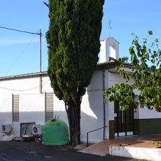
Església de Sant Joan Baptista de Benialfaquí
5.5 km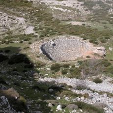
Nevera del Pla de la Casa 02
3.7 km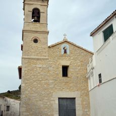
Church of Saint Anthony of Padua
1.1 km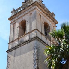
Església de la Mare de Déu del Roser de Benillup
8.3 km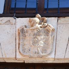
Escudo de los Olcina Sánchez Sempere
7.3 kmReviews
Visited this place? Tap the stars to rate it and share your experience / photos with the community! Try now! You can cancel it anytime.
Discover hidden gems everywhere you go!
From secret cafés to breathtaking viewpoints, skip the crowded tourist spots and find places that match your style. Our app makes it easy with voice search, smart filtering, route optimization, and insider tips from travelers worldwide. Download now for the complete mobile experience.

A unique approach to discovering new places❞
— Le Figaro
All the places worth exploring❞
— France Info
A tailor-made excursion in just a few clicks❞
— 20 Minutes