
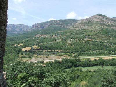
Lo Serrat, سلسلة جبلية في إسبانيا
Location: Conca de Dalt
Elevation above the sea: 790 m
GPS coordinates: 42.28000,0.93137
Latest update: March 8, 2025 06:22
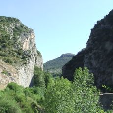
Congost d'Erinyà
1.4 km
Sant Miquel del Pui
2.5 km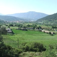
Lo Pla (la Pobla de Segur)
2.6 km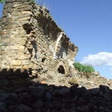
Sant Martí de Torallola
4.4 km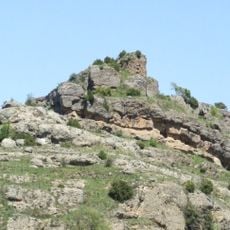
Castell de Toralla
1.8 km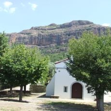
Roca Foradada
2.6 km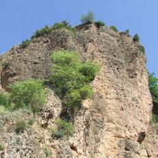
Castell de Serradell
2.6 km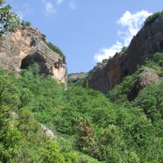
Hàbitat troglodític de la cova de l'Espluguell
2.3 km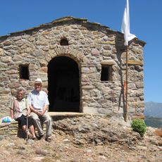
Sant Salvador de Toralla
2.9 km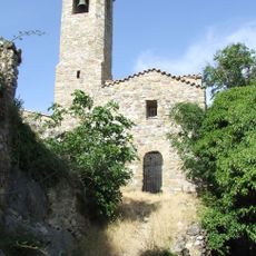
Sant Aventí de Cérvoles
3.6 km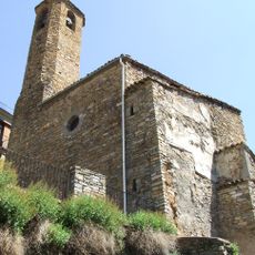
Sant Esteve d'Erinyà
556 m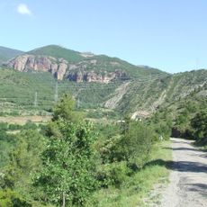
Taula d'Enserola
1.7 km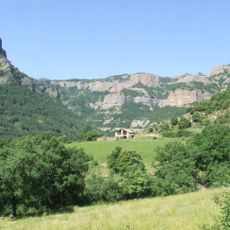
Borda del Seix
3.4 km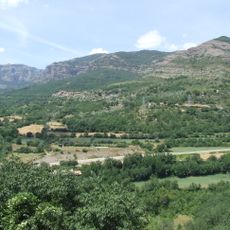
Les Cornelles
110 m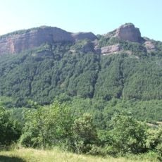
Tossal del Càvet
3.9 km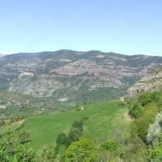
Lo Tossalet
4.1 km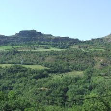
Obac d'Erinyà
1.6 km
Pic de Santa Magdalena
3.8 km
Borda de Santa Maria
3.6 km
Sant Sebastià de Lluçà
3.1 km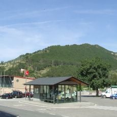
Vileres
4 km
Lo Castell
1.8 km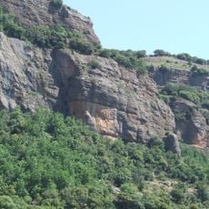
Espluguell
2.3 km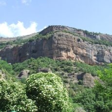
L'Espluga Llonga
2.5 km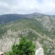
La Degollada
2.4 km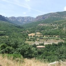
Les Planes (Erinyà)
587 m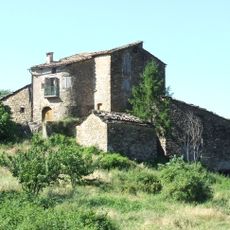
Masia Soriguer
1.1 km
Cantallops
2.9 kmReviews
Visited this place? Tap the stars to rate it and share your experience / photos with the community! Try now! You can cancel it anytime.
Discover hidden gems everywhere you go!
From secret cafés to breathtaking viewpoints, skip the crowded tourist spots and find places that match your style. Our app makes it easy with voice search, smart filtering, route optimization, and insider tips from travelers worldwide. Download now for the complete mobile experience.

A unique approach to discovering new places❞
— Le Figaro
All the places worth exploring❞
— France Info
A tailor-made excursion in just a few clicks❞
— 20 Minutes