Puiners, mountain in Spain
Location: Castellar de n'Hug
Elevation above the sea: 1,542.7 m
GPS coordinates: 42.27090,2.02373
Latest update: November 18, 2025 01:06
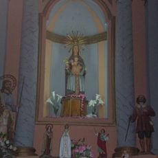
Santa Maria de Castellar de n'Hug
1.4 km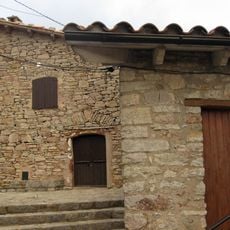
Castell de Castellar de n'Hug
1.5 km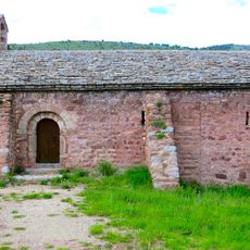
Sant Joan de Cornudell
1.6 km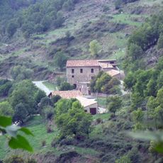
Ca l'Orriols (Castellar de n'Hug)
1.8 km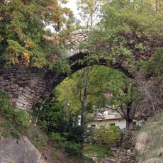
Pont de la Farga Vella
1.8 km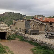
Museu del Pastor (Castellar de n'Hug)
1.5 km
Molí d'Orriols
1.5 km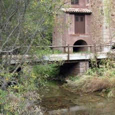
Pont del Molí d'Orriols
1.5 km
Roca Roja
1.9 km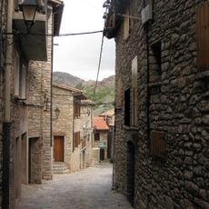
Carrer de Dalt
1.5 km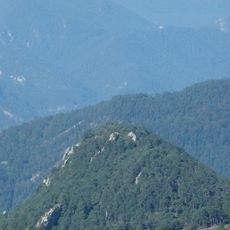
Roques de l'Espluga
2.4 km
Roques del Bruc
2.5 km
San Eloy
1.7 km
Turó dels Empedrissats
470 m
Tossal de l'Àliga
2.4 km
Pedró de les Rates
1.2 km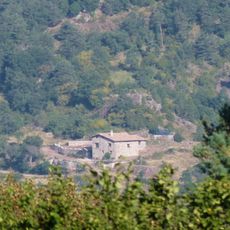
Can Torre
2.1 km
Fonts del Llobregat
1.6 km
Work of art
1.5 km
Fonts del Llobregat
1.6 km
Mirador del Balços
1.5 km
Mirador Josep Orriols Coch
1.5 km
Scenic viewpoint
1.5 km
Scenic viewpoint
2.2 km
Memorial, commemorative plaque
1.6 km
Waterfall
1.8 km
Waterfall
1.6 km
Waterfall
1.6 kmReviews
Visited this place? Tap the stars to rate it and share your experience / photos with the community! Try now! You can cancel it anytime.
Discover hidden gems everywhere you go!
From secret cafés to breathtaking viewpoints, skip the crowded tourist spots and find places that match your style. Our app makes it easy with voice search, smart filtering, route optimization, and insider tips from travelers worldwide. Download now for the complete mobile experience.

A unique approach to discovering new places❞
— Le Figaro
All the places worth exploring❞
— France Info
A tailor-made excursion in just a few clicks❞
— 20 Minutes