Pujol del Marquès, mountain in Spain
Location: Ribera d'Urgellet
Elevation above the sea: 1,371.1 m
GPS coordinates: 42.24325,1.39670
Latest update: November 19, 2025 21:20
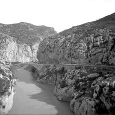
Congost de Tresponts
4.2 km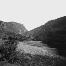
Sant Andreu de Tresponts
4.2 km
Castell de Tost
3.4 km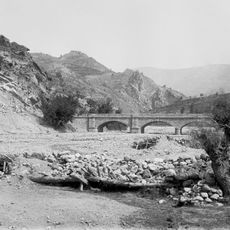
Vall de Tost
3.4 km
Sant Martí de Tost
3.4 km
Camí de Sant Ermengol
4.3 km
Sant Genís
3.8 km
Pont de la Torra
4.2 km
Santa Coloma de Montan de Tost
1.2 km
Mare de Déu de l'Esperança de Torà de Tost
3.4 km
Sant Germà de Ribera d'Urgellet
1.3 km
Sant Joan i Sant Martí de Castellar de Tost
3.3 km
Puig de Serreïnes
3.8 km
Ponts del camí de Traginers
3.9 km
Turó de la Costa Xica
4.8 km
Puig Margarell
4.7 km
Turó de la Ciutat
4 km
Dolmen de Coll Durau
4.7 km
Tossal de Caup
4.7 km
Roca de Peguera
3 km
Dolmen de Lligonàs
4 km
Pont de la Reula
4 km
Roca de Cal Gollet
3.8 km
Torre dels Moros
2 km
Molí del Vinyal
4.1 km
Creu de Sant Germé
1.4 km
Scenic viewpoint
2.5 km
Dòlmen del Lligonàs
4.1 kmReviews
Visited this place? Tap the stars to rate it and share your experience / photos with the community! Try now! You can cancel it anytime.
Discover hidden gems everywhere you go!
From secret cafés to breathtaking viewpoints, skip the crowded tourist spots and find places that match your style. Our app makes it easy with voice search, smart filtering, route optimization, and insider tips from travelers worldwide. Download now for the complete mobile experience.

A unique approach to discovering new places❞
— Le Figaro
All the places worth exploring❞
— France Info
A tailor-made excursion in just a few clicks❞
— 20 Minutes