Els Caubos, mountain in Spain
Location: El Pont de Suert
Elevation above the sea: 1,599.6 m
GPS coordinates: 42.34327,0.80064
Latest update: November 7, 2025 02:29
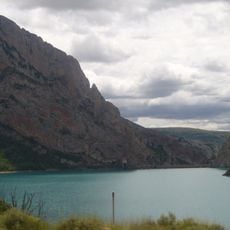
Escales Reservoir
4.5 km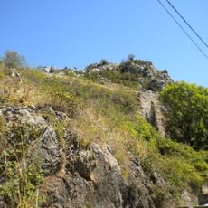
Castell de Viu de Llevata
3.1 km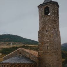
Santa Maria de Viu de Llevata
3.1 km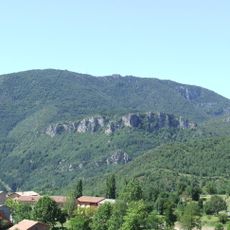
La Faiada de Malpàs
4.1 km
Tossal de Cabosi
4.1 km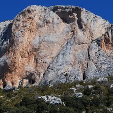
Pala del Teller
3 km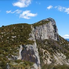
L'Avedoga d'Adons
4.5 km
Balma de les Ovelles
2.6 km
Castell d'Enrens
2.7 km
Santa Llúcia de Viu de Llevata
3.1 km
Castell de Curan
1.5 km
Roc de Sant Cugat
4.3 km
Sant Pere de Mas del Gras
2.1 km
Sant Gervàs
3.9 km
Santa Maria de Corroncui II
4.4 km
Sant Vicenç d'Adons
2.6 km
Roca de Sant Gervàs
3.3 km
Tossal del Comptador
3.6 km
Tossal de Sant Romà
3.7 km
Sant Joan de l'Espluga de Viu
3.8 km
Tossal de Sant Roc
542 m
Tossal de la Montcada
4.4 km
Pont d'Estanyabero
2.5 km
Molí de Viu
3.4 km
Scenic viewpoint
4.3 km
Scenic viewpoint
4.3 km
Scenic viewpoint
4.4 km
Waterfall
3.7 kmReviews
Visited this place? Tap the stars to rate it and share your experience / photos with the community! Try now! You can cancel it anytime.
Discover hidden gems everywhere you go!
From secret cafés to breathtaking viewpoints, skip the crowded tourist spots and find places that match your style. Our app makes it easy with voice search, smart filtering, route optimization, and insider tips from travelers worldwide. Download now for the complete mobile experience.

A unique approach to discovering new places❞
— Le Figaro
All the places worth exploring❞
— France Info
A tailor-made excursion in just a few clicks❞
— 20 Minutes