
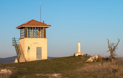
El Cerro, triangulation station in Condado de Treviño, Spain
Location: Condado de Treviño
Elevation above the sea: 901.142 m
Height: 1.14 m
GPS coordinates: 42.70992,-2.74833
Latest update: March 19, 2025 17:05
Zaldiaran
9.5 km
Castillo de Portilla
8.3 km
Castillo de Ocio
8.6 km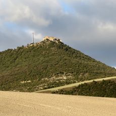
Ermita de San Formerio (Pangua)
7.1 km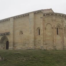
Hermitage of the Purísima Concepción, San Vicentejo
7.2 km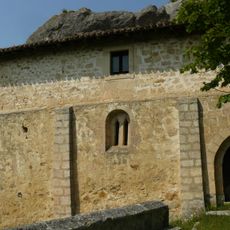
Church of Nuestra Señora de la Peña de Faido
9.2 km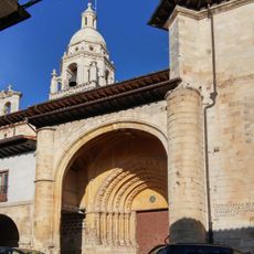
Church of San Pedro Apóstol, Treviño
2.8 km
Church of Nuestra Señora de la Asunción, Peñacerrada
7.9 km
Church of Nuestra Señora de la Asunción, La Puebla de Arganzón
9.3 km
Iglesia de Nuestra Señora de la Asunción
9.5 km
Arrieta
9 km
Iglesia de Nuestra Señora de la Asunción
5.9 km
Iglesia de San Juan Bautista
6.7 km
Iglesia de San Jorge
4.8 km
Iglesia de San Clemente
7.7 km
Iglesia de San Andrés
4.9 km
San Martin church
9.5 km
Biblioteca Pública Municipal de Peñacerrada
7.8 km
Iglesia de la Asunción de Nuestra Señora
9.6 km
Casa consistorial de Peñacerrada-Urizaharra
7.9 km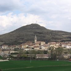
Villa de Treviño
2.7 km
Silo de Treviño
2.5 km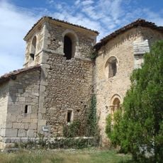
Church of San Andrés, Saraso
7.1 km
Silo de La Puebla de Arganzón
9.1 km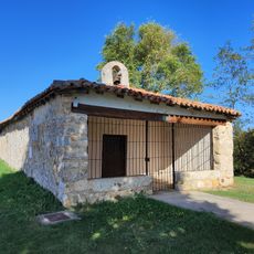
Ermita de San Roque
6.8 km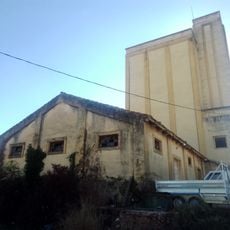
Granero de Treviño
2.5 km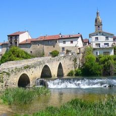
Villa de La Puebla de Arganzón
9.3 km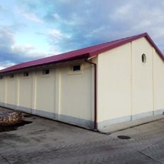
Granero de Peñacerrada
8.3 kmReviews
Visited this place? Tap the stars to rate it and share your experience / photos with the community! Try now! You can cancel it anytime.
Discover hidden gems everywhere you go!
From secret cafés to breathtaking viewpoints, skip the crowded tourist spots and find places that match your style. Our app makes it easy with voice search, smart filtering, route optimization, and insider tips from travelers worldwide. Download now for the complete mobile experience.

A unique approach to discovering new places❞
— Le Figaro
All the places worth exploring❞
— France Info
A tailor-made excursion in just a few clicks❞
— 20 Minutes