Muru, triangulation station in Urraul Alto, Spain
Location: Urraúl Alto
Elevation above the sea: 773.242 m
Height: 1.2 m
Part of: Red Geodésica Nacional por Técnicas Espaciales
GPS coordinates: 42.73483,-1.27538
Latest update: November 20, 2025 19:34

Palacio de Artieda
4.7 km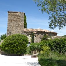
San Martin Tourskoaren eliza
2.7 km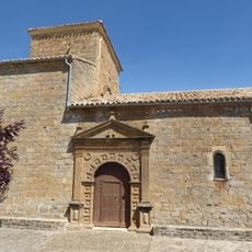
Kornelio eta Zipriano Saintuen eliza
4.7 km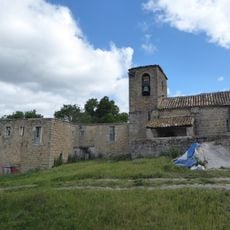
San Pedro eliza
1.8 km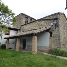
San Adrian eliza
3 km
Garbikundeko Andre Mariaren eliza
2.3 km
San Bizente eliza
3.7 km
Errosarioko Ama Birjinaren eliza
2.1 km
San Andres eliza
4.7 km
Angerta (Muga Blanca)
2.9 km
Ugarra 4 hego
4.6 km
Ugarron
1.7 km
Aikoa 2 hego
1.6 km
Aikoa 1 ipar (arrasado)
1.8 km
Boluntza 2 hego
3.7 km
Boluntza 1 ipar
3.7 km
Ugarra 3 ipar
4.3 km
Ugarra 2 mendebalde
4.1 km
Boluntza 1 bis hego
3.7 km
Scenic viewpoint
2.2 km
Ugarra
4.3 km
Ugarra 3 Iparralde
4.3 km
Cista Boluntza 1 bis
3.7 km
Angerta
2.9 km
Boluntza 1
3.7 km
Boluntza 2
3.7 km
Ugarra 4 Hegoalde
4.6 km
Aikoa
1.6 kmReviews
Visited this place? Tap the stars to rate it and share your experience / photos with the community! Try now! You can cancel it anytime.
Discover hidden gems everywhere you go!
From secret cafés to breathtaking viewpoints, skip the crowded tourist spots and find places that match your style. Our app makes it easy with voice search, smart filtering, route optimization, and insider tips from travelers worldwide. Download now for the complete mobile experience.

A unique approach to discovering new places❞
— Le Figaro
All the places worth exploring❞
— France Info
A tailor-made excursion in just a few clicks❞
— 20 Minutes