
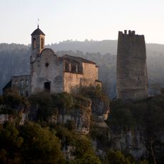
San Miguel, triangulation station in Pontils, Spain
Location: Pontils
Elevation above the sea: 947.574 m
Height: 1.2 m
GPS coordinates: 41.46573,1.34567
Latest update: March 22, 2025 12:06

Castell de Santa Perpètua
3.8 km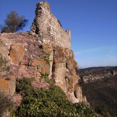
Castell de Selmella
5 km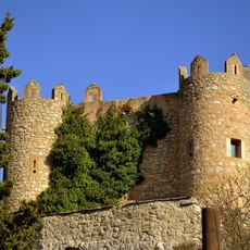
Castell de Biure
2.8 km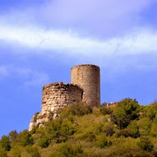
Castell de Saburella
4.8 km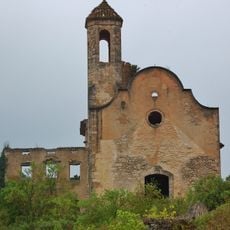
Església de Santa Perpètua de Gaià
3.9 km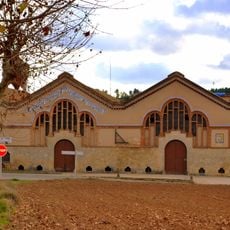
Celler Cooperatiu de Rocafort de Queralt
5.5 km
Castillo de Montclar
236 m
Castell de les Piles
4.3 km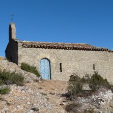
Sant Miquel de Montclar
271 m
Castell de Vallespinosa
2.4 km
Santa Maria de Guialmons
5.5 km
Mas del Cogul
3.8 km
El Cogulló
5.3 km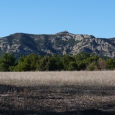
Montclar
1 m
Església de Selmella
5 km
Castell de Pontils
3.7 km
Castell de Guialmons
5.4 km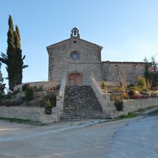
Santa Eugènia de les Piles
4 km
Sant Jaume de Vallespinosa
2.4 km
Molí de Seguer
5.3 km
Santa Susanna de Santa Perpètua de Gaià
4 km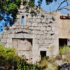
Santa Maria i Sant Jacint de Vallespinosa
2.4 km
Creu de terme de Biure
2.7 km
Santa Maria de Pontils
3.7 km
Sant Salvador de Rocafort
5.5 km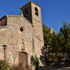
Sant Joan de Biure
2.7 km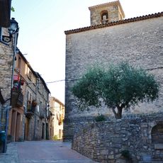
Sant Martí de les Piles
4.2 km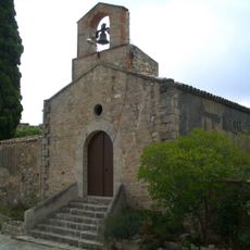
Sant Joan
3 kmReviews
Visited this place? Tap the stars to rate it and share your experience / photos with the community! Try now! You can cancel it anytime.
Discover hidden gems everywhere you go!
From secret cafés to breathtaking viewpoints, skip the crowded tourist spots and find places that match your style. Our app makes it easy with voice search, smart filtering, route optimization, and insider tips from travelers worldwide. Download now for the complete mobile experience.

A unique approach to discovering new places❞
— Le Figaro
All the places worth exploring❞
— France Info
A tailor-made excursion in just a few clicks❞
— 20 Minutes