
Pont des Sources, bridge in Saint-Yorre, France
Location: Saint-Yorre
Length: 120 m
Part of: departmental road 121
GPS coordinates: 46.06180,3.45850
Latest update: May 17, 2025 06:25
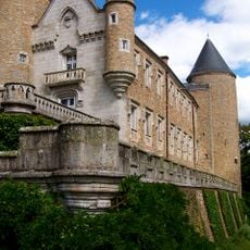
Château de Busset
4 km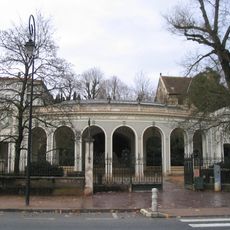
Source des Célestins
7 km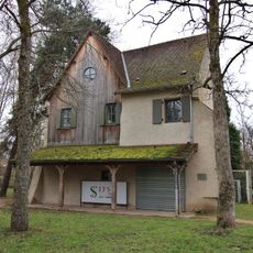
Couvent des Célestins
7 km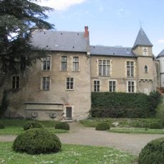
Maison du Bailliage
7.1 km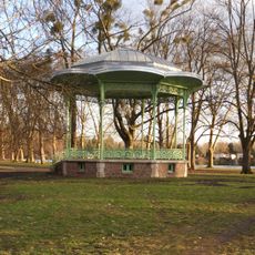
Kiosque du parc des Bourins
6.6 km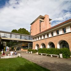
Pôle universitaire et technologique Lardy
6.9 km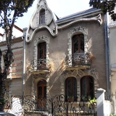
Maison, 50 rue de Strasbourg, Vichy
7 km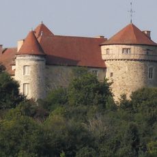
Château de Chaussins
3 km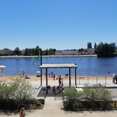
Plage des Célestins
6.9 km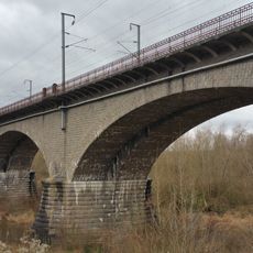
Viaduc d'Abrest
4 km
Parc floral et arboré de la Chènevière
4.3 km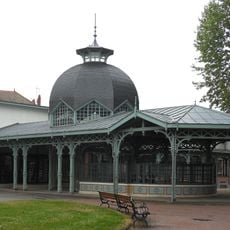
Source Lardy
7 km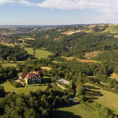
Château du Vernet
5.3 km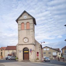
Église Saint-Georges du Vernet
5.2 km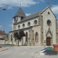
Église Saint-Louis de Hauterive
3.1 km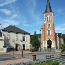
Église Saint-Cyr-et-Sainte-Juliette de Mariol
5.4 km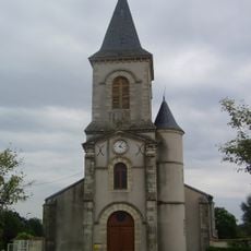
Église Saint-Sylvestre de Saint-Sylvestre-Pragoulin
5 km
Église Saint-Priest de Saint-Priest-Bramefant
4 km
Église Saint-Hilaire d'Abrest
4.3 km
Église Saint-Éloi de Saint-Yorre
536 m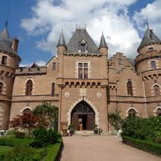
Château de Maulmont
4.9 km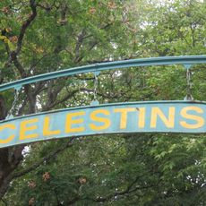
Parc des célestins, Vichy
7.1 km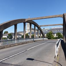
Pont Voltaire
7.1 km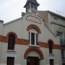
Temple antoiniste de Vichy
6.8 km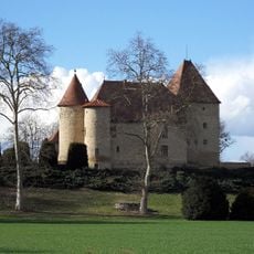
Château de la Poivrière
1.7 km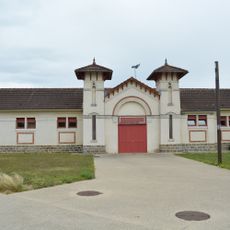
Bâtiment du Tir aux Pigeons
6.7 km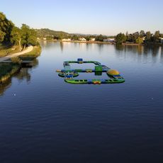
Aloha Parc
7.1 km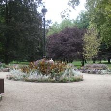
Parc Kennedy
7 kmReviews
Visited this place? Tap the stars to rate it and share your experience / photos with the community! Try now! You can cancel it anytime.
Discover hidden gems everywhere you go!
From secret cafés to breathtaking viewpoints, skip the crowded tourist spots and find places that match your style. Our app makes it easy with voice search, smart filtering, route optimization, and insider tips from travelers worldwide. Download now for the complete mobile experience.

A unique approach to discovering new places❞
— Le Figaro
All the places worth exploring❞
— France Info
A tailor-made excursion in just a few clicks❞
— 20 Minutes