
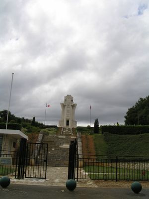
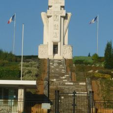
Resistance Memorial
Location: Chasseneuil-sur-Bonnieure
Inception: 1951
Architects: Fernand Poncelet
Creator: Raoul Lamourdedieu, Emile Peyronnet
Official opening: October 21, 1951
Height: 21 m
Part of: Chasseneuil-sur-Bonnieure National Cemetery and Memorial
GPS coordinates: 45.82341,0.43872
Latest update: March 9, 2025 13:00
Chasseneuil-sur-Bonnieure National Cemetery and Memorial
4 m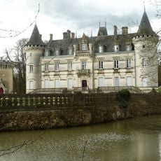
Nieuil Château
9 km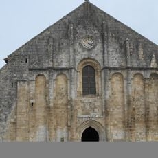
Église Saint-Nicolas
8.4 km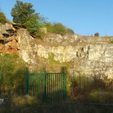
Grotte d'Artenac
8.6 km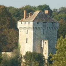
Château des Pins
3.7 km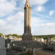
Lanterne des morts
8.4 km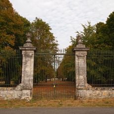
Logis de Ribérolles
9.4 km
Aven de Marillac
9.2 km
Église Saint-Nicolas
8.4 km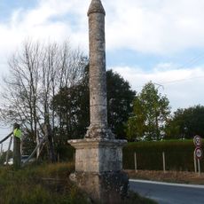
Croix de la Tuilière
9.6 km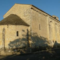
Église Sainte-Colombe de Sainte-Colombe
9.4 km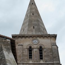
Église Saint-Claud de Saint-Claud
8.1 km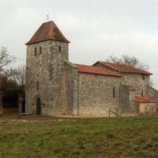
Église Saint-Louis de Lussac
4.5 km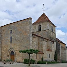
Église Saint-Saturnin de Chasseneuil-sur-Bonnieure
793 m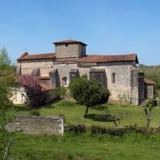
Église Notre-Dame et Saint-Pierre
8.5 km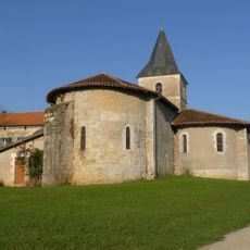
Église Saint-Vivien de Nieuil
7.6 km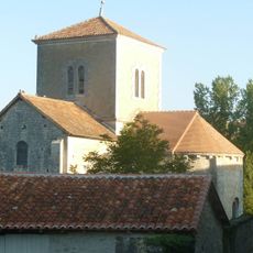
Église de Saint-Mary
4.1 km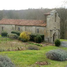
Église Saint-Maixent de Saint-Adjutory
6.7 km
Église Saint-Cybard de Suaux
6 km
Église Saint-Vivien d'Yvrac
8.2 km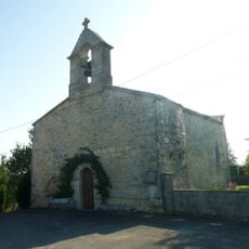
Église Saint-Remy de Fleurignac
6.2 km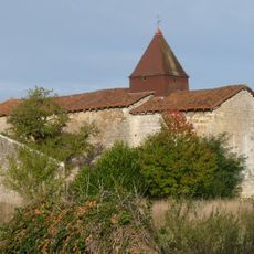
Église Saint-Jean-Baptiste de La Tâche
8.3 km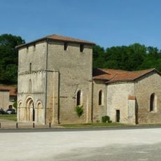
Église Saint-Maixent
5.3 km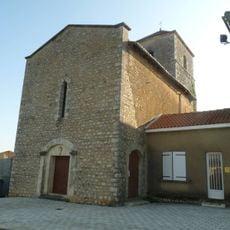
Église Saint-Martial de Taponnat-Fleurignac
5.4 km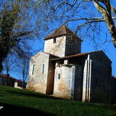
Église Saint-Pierre des Pins
3.8 km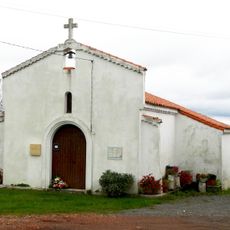
Chapelle Saint-Jean de Fontafie
9.4 km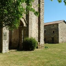
Prieuré du Châtelars
6.4 km
Forge de Puyravaud
7.9 kmReviews
Visited this place? Tap the stars to rate it and share your experience / photos with the community! Try now! You can cancel it anytime.
Discover hidden gems everywhere you go!
From secret cafés to breathtaking viewpoints, skip the crowded tourist spots and find places that match your style. Our app makes it easy with voice search, smart filtering, route optimization, and insider tips from travelers worldwide. Download now for the complete mobile experience.

A unique approach to discovering new places❞
— Le Figaro
All the places worth exploring❞
— France Info
A tailor-made excursion in just a few clicks❞
— 20 Minutes