
Croxton, a village located in South Cambridgeshire, United Kingdom
Location: South Cambridgeshire
Shares border with: Yelling
GPS coordinates: 52.22416,-0.18021
Latest update: March 8, 2025 12:42
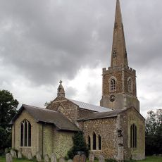
Parish Church of St John the Baptist and St Pandionia
2.5 km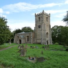
Church of St James
1.1 km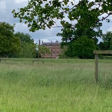
Croxton Park
1.1 km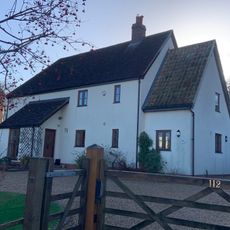
Stoneley Cottage
3.6 km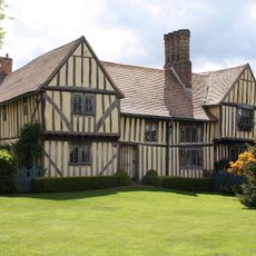
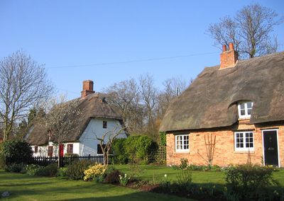
The Manor House
578 m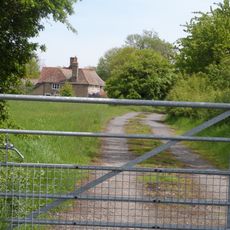
Westbury Farmhouse
601 m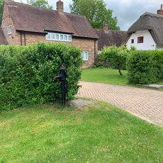
Village Pump Outside Chefs' Cottage
497 m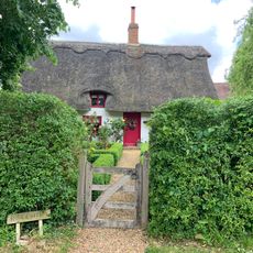
Rose Cottage
481 m
Milestone
2.7 km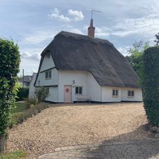
58, High Street
3.8 km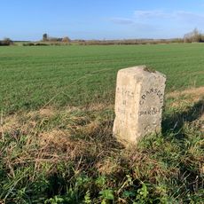
Milestone
3.9 km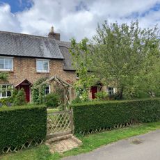
Orchard Cottage And Two Cottages To North
508 m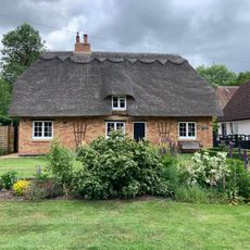
Lindsey Cottage Immediately South Of Myrune Cottage
520 m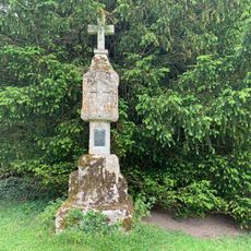
Churchyard Cross
1.1 km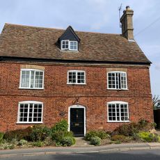
Vicarage Farmhouse
3.8 km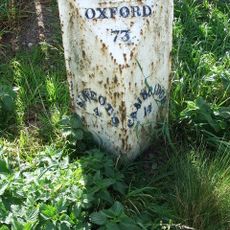
Mile Post, To North West Of Spread Eagle Public House
84 m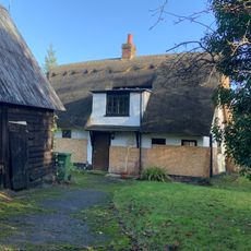
2, Blacksmiths Lane
3.8 km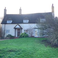
90 And 92, High Street
3.6 km
Fen End Farmhouse
3.6 km
Rectory Farmhouse
3.5 km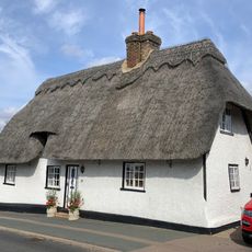
19, High Street
3.8 km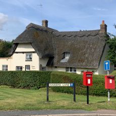
67, High Street
3.7 km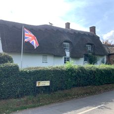
1, Blacksmiths Lane
3.8 km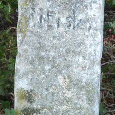
Milestone
2.8 km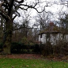
South Lodge
2.3 km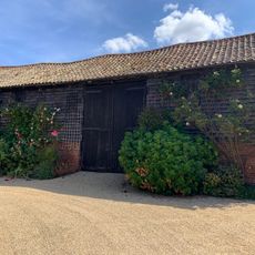
Barn To East Of Leycourt Farmhouse
3.6 km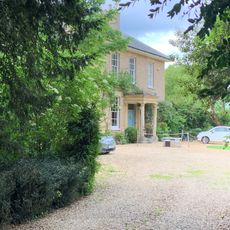
The Downs
435 m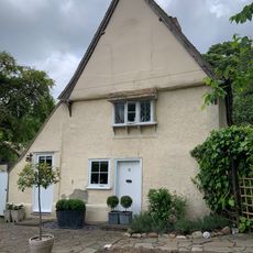
Gatehouse Lodge
613 mReviews
Visited this place? Tap the stars to rate it and share your experience / photos with the community! Try now! You can cancel it anytime.
Discover hidden gems everywhere you go!
From secret cafés to breathtaking viewpoints, skip the crowded tourist spots and find places that match your style. Our app makes it easy with voice search, smart filtering, route optimization, and insider tips from travelers worldwide. Download now for the complete mobile experience.

A unique approach to discovering new places❞
— Le Figaro
All the places worth exploring❞
— France Info
A tailor-made excursion in just a few clicks❞
— 20 Minutes