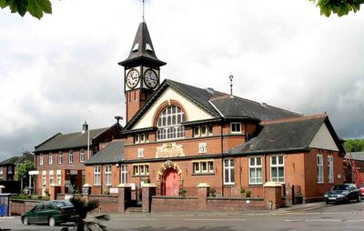
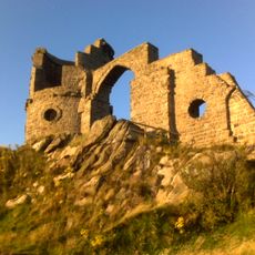
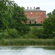
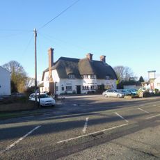
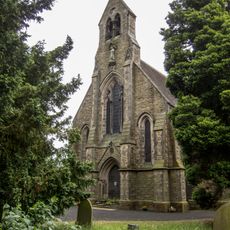
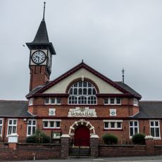
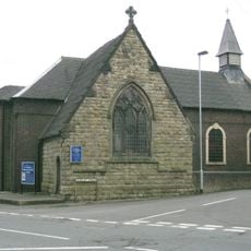
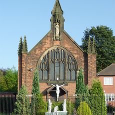
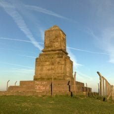
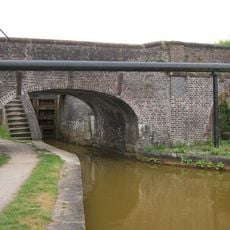
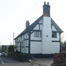
Kidsgrove, town and civil parish in Staffordshire UK
Location: Newcastle-under-Lyme
Shares border with: Church Lawton, Moreton cum Alcumlow
GPS coordinates: 53.08740,-2.24780
Latest update: April 11, 2025 21:44
Mow Cop Castle
3.6 km
Golden Torch
4 km
Rode Hall
3.3 km
The Bleeding Wolf, Scholar Green
1.7 km
Lawton Hall
1.6 km
Christ Church, Tunstall
3.7 km
All Saints Church, Scholar Green
3.2 km
All Saints Church, Church Lawton
1.8 km
Parrot's Drumble
2.9 km
Former Town Hall National Westminster Bank Shops
4.1 km
Kidsgrove Town Hall
610 m
Church of St Martin
1.6 km
Roman Catholic Church of the Sacred Heart and Attached Railings
4.3 km
Church of St Thomas
3.8 km
Parish Church of St John the Elder
2.4 km
Church of St Thomas
500 m
Bridge number 137 (Hall's Bridge) at SJ 8159 5622
2.6 km
Trent And Mersey Canal Bridge Over Macclesfield Canal
111 m
Tunstall Library
4.1 km
Bridge No 91
2.2 km
Red Bull aqueduct
711 m
Canal Bridge No 87
3.1 km
St James the Apostle
2.7 km
Kidsgrove War Memorial
467 m
Wedgewood Monument
3.5 km
Trent and Mersey Canal Bridge Number 136 at SJ 8187 5602
2.2 km
Crown Bank Cottage
1.9 km
Canal Bridge No 89
2.7 kmReviews
Visited this place? Tap the stars to rate it and share your experience / photos with the community! Try now! You can cancel it anytime.
Discover hidden gems everywhere you go!
From secret cafés to breathtaking viewpoints, skip the crowded tourist spots and find places that match your style. Our app makes it easy with voice search, smart filtering, route optimization, and insider tips from travelers worldwide. Download now for the complete mobile experience.
A unique approach to discovering new places❞
— Le Figaro
All the places worth exploring❞
— France Info
A tailor-made excursion in just a few clicks❞
— 20 Minutes