
Barton-le-Clay, village in Central Bedfordshire, Bedfordshire, United Kingdom
Location: Central Bedfordshire
Website: http://bartonleclay.co.uk
GPS coordinates: 51.96690,-0.42410
Latest update: March 8, 2025 12:13
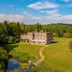
Hexton Manor
2.5 km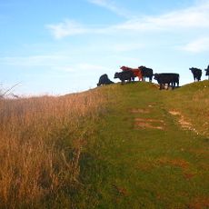
Galley and Warden Hills
4.4 km
Telegraph Hill, Hertfordshire
4.2 km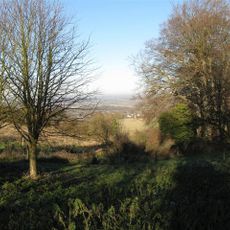
Smithcombe, Sharpenhoe and Sundon Hills
1.8 km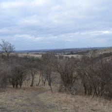
Deacon Hill
4.2 km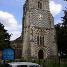
Church of St Nicholas, Barton le Clay
623 m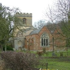
Church of St Faith (Church of England)
2.1 km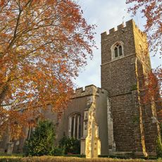
Church of Saint Mary the Virgin, Harlington, Bedfordshire
4.6 km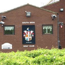
South Beds Golf Club
4.3 km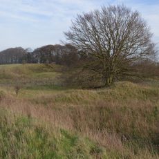
Barton Gravel Pit
1.8 km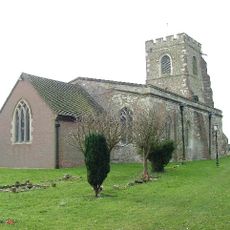
Church of St Margaret, Streatley, Bedfordshire
2.7 km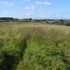
Pulloxhill Marsh
3.7 km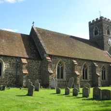
Church of St James
3.6 km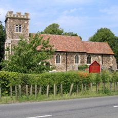
Parish Church of Saint Margaret
2.7 km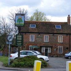
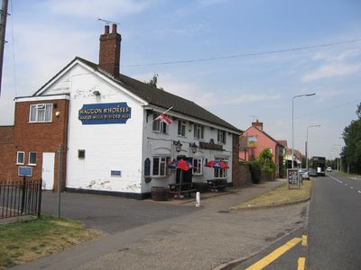
The Royal Oak Inn
271 m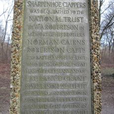
The Robertson War Memorial Bequest Obelisk, Sharpenhoe
1.9 km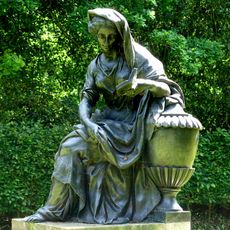
Statue of Lady Jemima, 27m South of the West Half House
3.9 km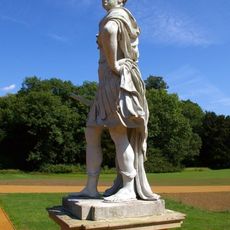
Statue of William III
3.9 km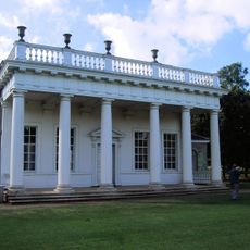
Bowling Green House And Two Urns On Pedestals 5m To The South-east And North-east
4.2 km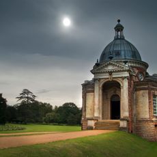
Banqueting House
3.8 km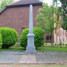
Barton Le Clay War Memorial
341 m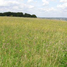
Sharpenhoe Clappers
1.9 km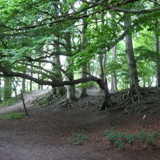
Sharpenhoe Clappers: an Iron Age promontory fort, medieval warren and associated medieval cultivation earthworks
1.9 km
East Half House
3.9 km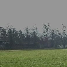
Montgrove Farmhouse
3.4 km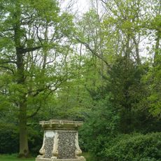
Mithraic Altar in Silsoe
3.8 km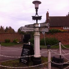
Villagers Pump At Junction Of Village Street With Barton Road
2.4 km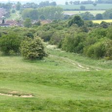
Dray's Ditches
4.4 kmVisited this place? Tap the stars to rate it and share your experience / photos with the community! Try now! You can cancel it anytime.
Discover hidden gems everywhere you go!
From secret cafés to breathtaking viewpoints, skip the crowded tourist spots and find places that match your style. Our app makes it easy with voice search, smart filtering, route optimization, and insider tips from travelers worldwide. Download now for the complete mobile experience.

A unique approach to discovering new places❞
— Le Figaro
All the places worth exploring❞
— France Info
A tailor-made excursion in just a few clicks❞
— 20 Minutes