
Colby, village and civil parish in Cumbria, UK
Location: Westmorland and Furness
GPS coordinates: 54.57800,-2.51900
Latest update: March 14, 2025 13:02
14, Boroughgate
1.8 km
8-11, Chapel Street
1.6 km
27, 28 and 29, Chapel Street
1.7 km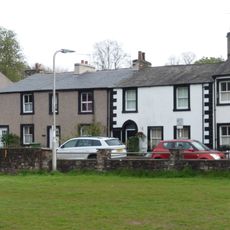
5-7, Chapel Street
1.6 km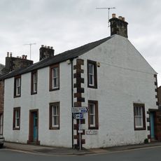
30, 31 and 32, Chapel Street
1.7 km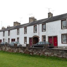
20-26, Chapel Street
1.7 km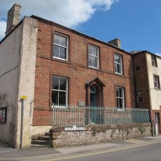
33 and 34, Chapel Street
1.7 km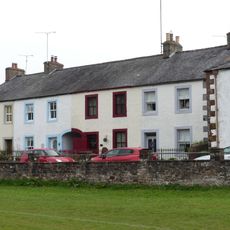
16-19, Chapel Street
1.7 km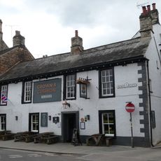
Crown and Cushion Hotel
1.8 km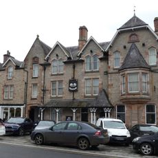
Tufton Arms Hotel and shop
1.8 km
The Golden Ball Hotel
1.8 km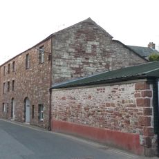
Old Brewery
1.8 km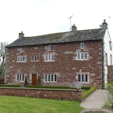
Nether Hoff Farmhouse
437 m
Kingdom Hall
1.7 km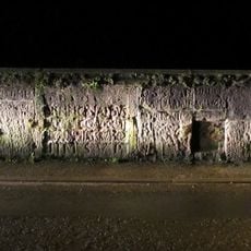
Length of wall incorporating the Bainbrigg Stones
1.7 km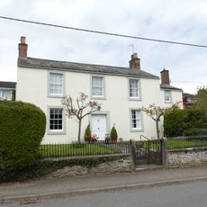
Barbadoes Lodge
1.7 km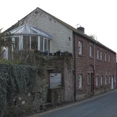
Barley Cottage and The Shieling
1.8 km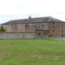
Barn, byre and mill to south of Nether Hoff Farmhouse
469 m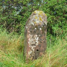
Milestone To North East Of Crackenthorpe Hall
1.5 km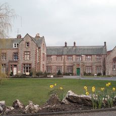
Main building at Appleby Grammar School
1.7 km
Integral Barn Adjoining Number 1
1.7 km
Westmorland House
1.8 km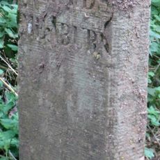
Parish Boundary Stone
3 km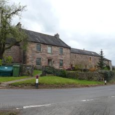
Farmhouse and attached barn on west side of road at north end of village
494 m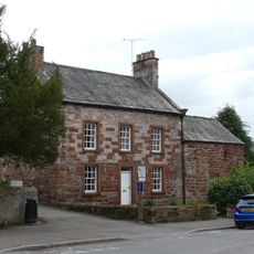
The Armoury
1.7 km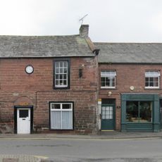
The Clock House
1.7 km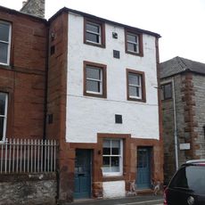
33A Chapel Street
1.7 km
2, 3 and 4, Doomgate
1.7 kmVisited this place? Tap the stars to rate it and share your experience / photos with the community! Try now! You can cancel it anytime.
Discover hidden gems everywhere you go!
From secret cafés to breathtaking viewpoints, skip the crowded tourist spots and find places that match your style. Our app makes it easy with voice search, smart filtering, route optimization, and insider tips from travelers worldwide. Download now for the complete mobile experience.

A unique approach to discovering new places❞
— Le Figaro
All the places worth exploring❞
— France Info
A tailor-made excursion in just a few clicks❞
— 20 Minutes