
Monkokehampton, village and civil parish in Devon, England
Location: West Devon
Elevation above the sea: 73.8 m
GPS coordinates: 50.83092,-4.00578
Latest update: April 29, 2025 20:23
Church of All Saints
5.2 km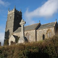
Church of St James
3.4 km
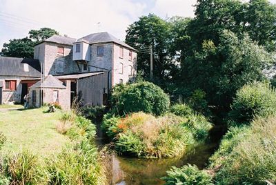
Made-Well
4.9 km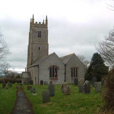
Church of St Peter
5.3 km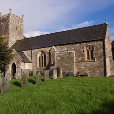
Church of St Michael
5 km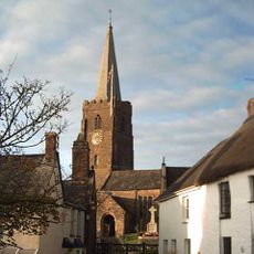
Church of St John the Baptist
4.8 km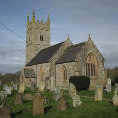
Church of All Saints
744 m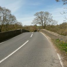
Hele Bridge
4.9 km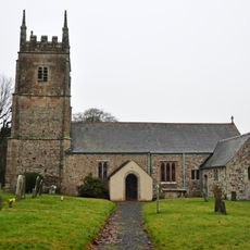
Church of St James
3.8 km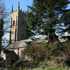
Church of All Hallows
2.9 km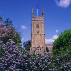
Church of St Mary
3.8 km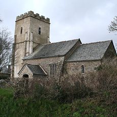
Church of St Mary
4.8 km
Tally Ho Inn
4.7 km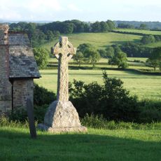
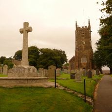
Iddesleigh War Memorial
3.4 km
The George Hotel
4.8 km
Dartmoor View
5.7 km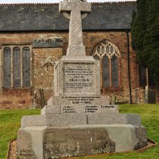
Hatherleigh War Memorial
4.8 km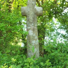
Cross At Ss 554074
3.9 km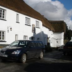
Duke Of York Inn
3.4 km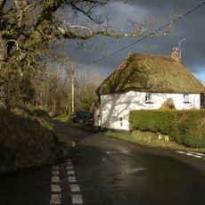
Weekmoor Cross Cottage
2.5 km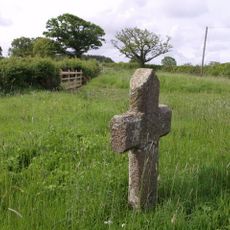
Basset's Cross
4.3 km
Wayside cross at junction between Victoria Road and Park Road, east of Hatherleigh
4.2 km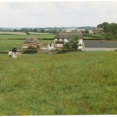
East Or Groves Fishleigh Farmhouse
3.4 km
Wayside cross socket stone at road junction 70m east of St Peter's Church
5.3 km
Barn Immediately To South-West Of East Or Groves Fishleigh Farmhouse
3.4 km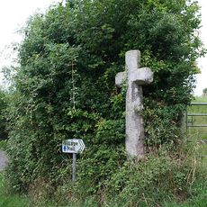
Wayside cross at Bulland Cross
5.9 km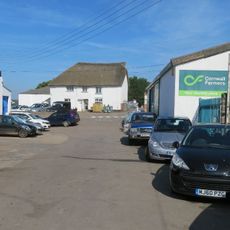
Letheren And Sons Office Hole Court
4.8 km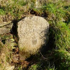
Milestone, S of Fishleigh Cross, on by-pass, 50m S of jct with old road, by path rising up the embankment
4.8 kmReviews
Visited this place? Tap the stars to rate it and share your experience / photos with the community! Try now! You can cancel it anytime.
Discover hidden gems everywhere you go!
From secret cafés to breathtaking viewpoints, skip the crowded tourist spots and find places that match your style. Our app makes it easy with voice search, smart filtering, route optimization, and insider tips from travelers worldwide. Download now for the complete mobile experience.

A unique approach to discovering new places❞
— Le Figaro
All the places worth exploring❞
— France Info
A tailor-made excursion in just a few clicks❞
— 20 Minutes