
Welton, village and civil parish in the East Riding of Yorkshire, England
Location: East Riding of Yorkshire
GPS coordinates: 53.73334,-0.54516
Latest update: March 4, 2025 11:25
Petuaria
2.1 km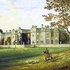
Brantingham Thorpe
2.5 km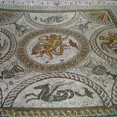
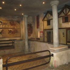
Romano-British villa at Cockle Pits, near Brantingham
3.3 km
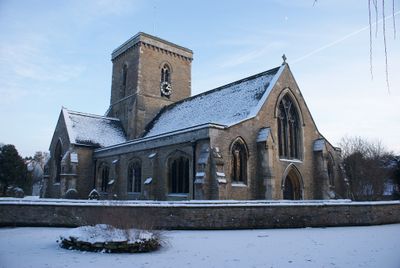
Church of All Saints
3.3 km
Church of St Mary
1.9 km
Church of St Helen
174 m
Wauldby Chapel
2.6 km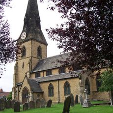
Church of All Saints
3.2 km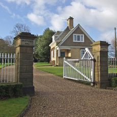
Braffords Hall
4.3 km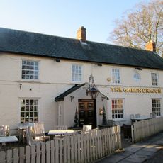
Green Dragon Public House
305 m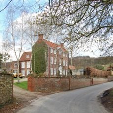
Brantingham Hall
3.1 km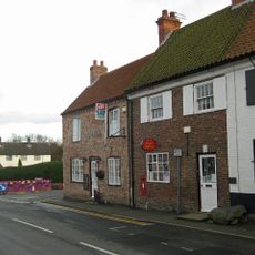
Post Office
3.5 km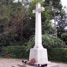
North Ferriby War Memorial
3.1 km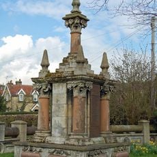
Brantingham War Memorial and Screen Wall
2.9 km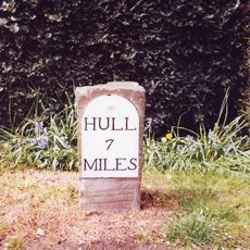
Milestone, Kemp Road, Swanland
3.5 km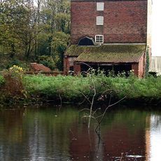
Welton Mill
323 m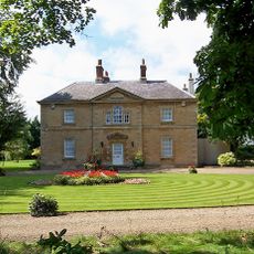
Welton Grange
427 m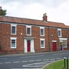
Barn House
267 m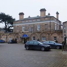
Hesslewood
5.8 km
The Fountain And Basin
247 m
Raywell House
4.6 km
Manor Farmhouse
2.6 km
Welton Lodge
120 m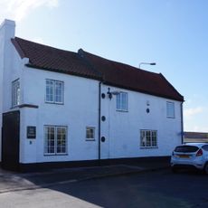
Stable At Welton Garth
449 m
Welton Garth
435 m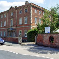
Ferriby House
2.9 km
Milestone, Saltgrounds Road, Brough, just S of Ferry Inn
2.4 km
Milestone, NE verge of roundabout opposite Veterinary practice.
4.9 kmVisited this place? Tap the stars to rate it and share your experience / photos with the community! Try now! You can cancel it anytime.
Discover hidden gems everywhere you go!
From secret cafés to breathtaking viewpoints, skip the crowded tourist spots and find places that match your style. Our app makes it easy with voice search, smart filtering, route optimization, and insider tips from travelers worldwide. Download now for the complete mobile experience.

A unique approach to discovering new places❞
— Le Figaro
All the places worth exploring❞
— France Info
A tailor-made excursion in just a few clicks❞
— 20 Minutes