
Upton, village and civil parish in Vale of White Horse, Oxfordshire, England
Location: Vale of White Horse
Shares border with: Chilton, Blewbury, West Hagbourne
Website: http://uptonvillage.co.uk
GPS coordinates: 51.57800,-1.26100
Latest update: March 7, 2025 01:20
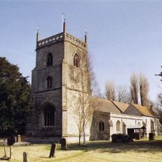
Church of St Michael
2.1 km
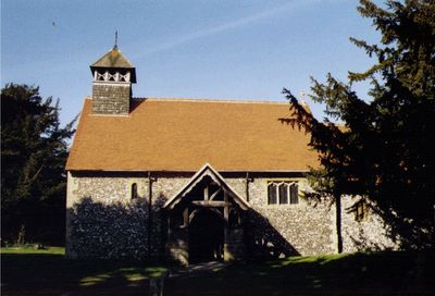
Church of St Mary
248 m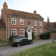
Malthus Schoolhouse
2.1 km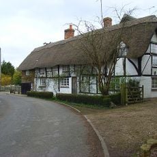
Dragonwyke And Winding Way Cottage
2.3 km
Turnpike House
2.3 km
Thatch Cottage
946 m
Corrydon House
2.1 km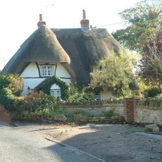
Cottage approximately 35 metres south west of Blissets
848 m
York Farm Cottage
1 km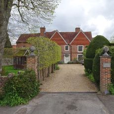
Upton Manor House
286 m
Ivy Farmhouse
848 m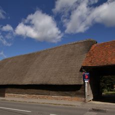
Great Tree Farm Barn And Attached Covered Gateway
2.1 km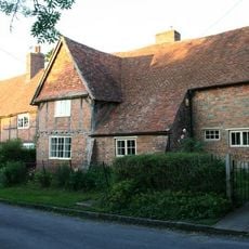
Great Tree and Ilburys
2.1 km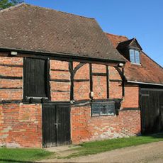
Barn And Granary Approximately 20 Metres West Of Owlscote Manor Farmhouse
206 m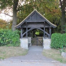
Blewbury Cemetery WWI Memorial Lychgate
1.8 km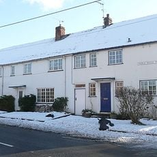
3, Treble House Terrace
2.2 km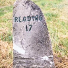
Milestone At Su 5041 8770
1.3 km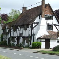
Double Doors
2 km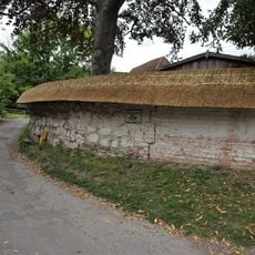
Clunch Wall approximately 35 metres East of Orchrd Dene House, at junction with South Street
2.3 km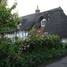
Stocks
2 km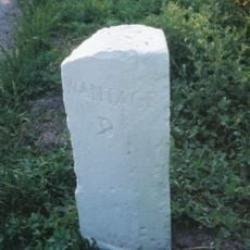
Milestone At Su 5253 8574
1.6 km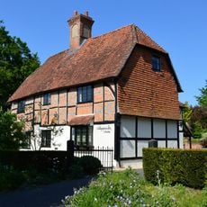
Nottingham Fee House
2.1 km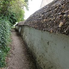
Cob wall forming southern boundary (locally known as Curtoys Lane) to housing estate
1.9 km
Curtoys
1.9 km
Boham's House
1.9 km
Cob wall attached to south of Wycherts
902 m
Laurences
2 km
Wycherts
914 mVisited this place? Tap the stars to rate it and share your experience / photos with the community! Try now! You can cancel it anytime.
Discover hidden gems everywhere you go!
From secret cafés to breathtaking viewpoints, skip the crowded tourist spots and find places that match your style. Our app makes it easy with voice search, smart filtering, route optimization, and insider tips from travelers worldwide. Download now for the complete mobile experience.

A unique approach to discovering new places❞
— Le Figaro
All the places worth exploring❞
— France Info
A tailor-made excursion in just a few clicks❞
— 20 Minutes