
Hartshorne, village and civil parish in South Derbyshire, Derbyshire, England
Location: South Derbyshire
Shares border with: Repton, Bretby, Swadlincote, Woodville, Smisby, Ticknall
GPS coordinates: 52.78900,-1.52600
Latest update: March 2, 2025 22:30
Calke Abbey
4.9 km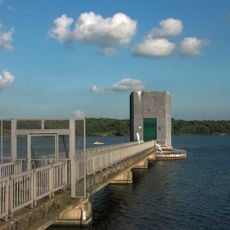
Foremark Reservoir
3.2 km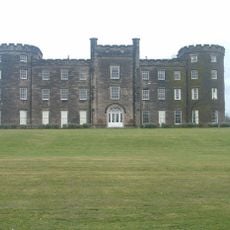
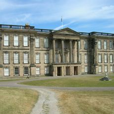
Bretby Hall
2.3 km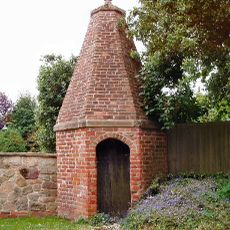
Smisby lock-up
3.6 km
Gresley Priory
4.3 km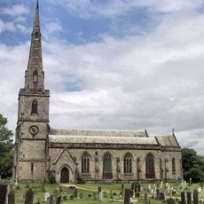
St George's Church, Ticknall
4.1 km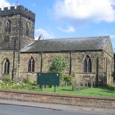
Parish Church of St Mary and Saint George
4.3 km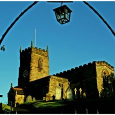
Church of St James
3.5 km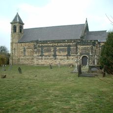
St Stephen's Church, Woodville
2.4 km
Parish Church of St Margaret of Antioch
3.4 km
Church of St Wystan
3.3 km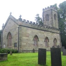
Church of St Giles, Calke
4.9 km
Church of St John
2.9 km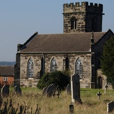
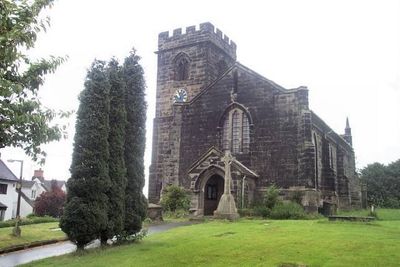
Church of St Peter
857 m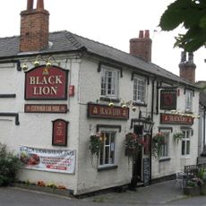
The Black Lion Public House
3.4 km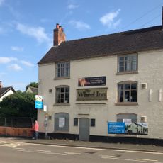
The Wheel Public House
4.2 km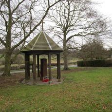
War Memorial and Pump
3.1 km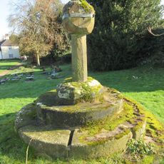
Churchyard cross 55 yards south of the Church of St George
4.1 km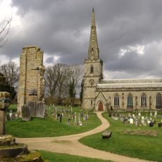
Medieval church and cross 45m south of St George's Church
4.1 km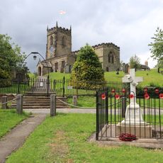
Smisby War Memorial
3.6 km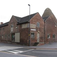
Sharpes Pottery Museum
2.8 km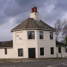
Toll House
2.8 km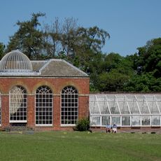
Conservatory, Attached Garden Walls And Tunnel
5.1 km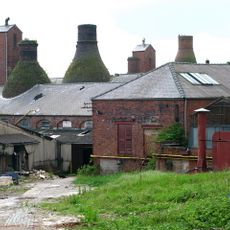
Four Bottle Kilns At Greens Pottery
3 km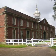
Stables And Riding School
4.8 km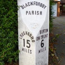
Milepost, Ashby Road; Woodville, by drive of No. 73
2.5 km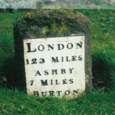
Milestone, Ashby Road East; outside No. 25, adj County Boundary
4.3 km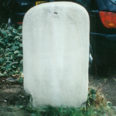
Milestone, Burton Road; Midway, by drive of No. 436
1.7 kmReviews
Visited this place? Tap the stars to rate it and share your experience / photos with the community! Try now! You can cancel it anytime.
Discover hidden gems everywhere you go!
From secret cafés to breathtaking viewpoints, skip the crowded tourist spots and find places that match your style. Our app makes it easy with voice search, smart filtering, route optimization, and insider tips from travelers worldwide. Download now for the complete mobile experience.

A unique approach to discovering new places❞
— Le Figaro
All the places worth exploring❞
— France Info
A tailor-made excursion in just a few clicks❞
— 20 Minutes