
Bubwith, village and civil parish in East Riding of Yorkshire, United Kingdom
Location: East Riding of Yorkshire
Shares border with: Ellerton, Foggathorpe, Spaldington, Wressle, North Duffield
GPS coordinates: 53.81807,-0.91927
Latest update: March 8, 2025 08:12
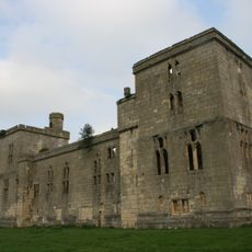
Wressle Castle
4.8 km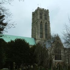
Howden Minster
8.8 km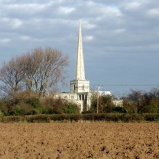
Church of St Mary the Virgin
6.9 km
Barn Hill Meadows
7.8 km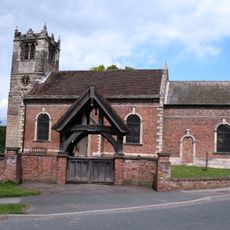
St Helen's Church, Thorganby
5.8 km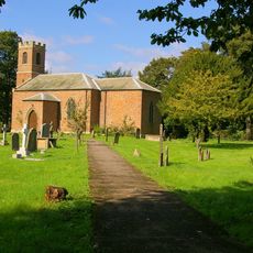
Church of St John of Beverley
5.1 km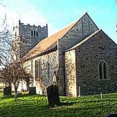
Church of All Saints
2.6 km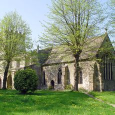
Church of All Saints
145 m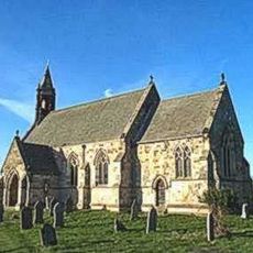
Church of St Mary
3.7 km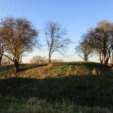
Motte and bailey castle, fishpond and moated site north and east of Aughton church
2.6 km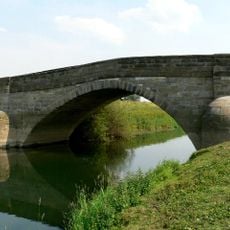
Derwent Bridge
530 m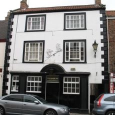
The Board Inn
8.8 km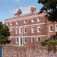
Skipwith Hall
5.7 km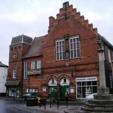
Howden Library
8.8 km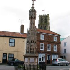
Howden War Memorial
8.7 km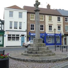
Market Cross
8.8 km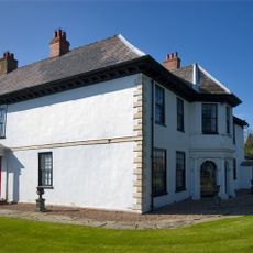
Howden Hall
8.7 km
Shire Hall
8.8 km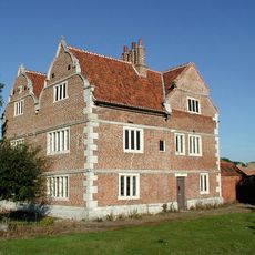
Knedlington Old Hall
8.4 km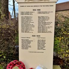
Asselby Roll of Honour
8.3 km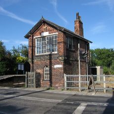
Signal Box At North Howden Station
7.1 km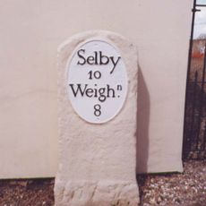
Milestone To East End Of Milestone Cottage
4.4 km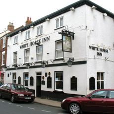
The White Horse
8.8 km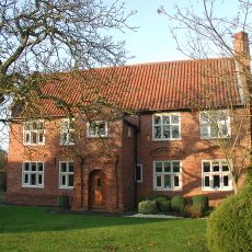
Holmes House
4 km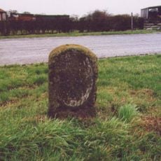
Milestone, adjacent to Green Farm, Harlthorpe
2.6 km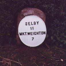
Milestone, Allberries Farm
5.7 km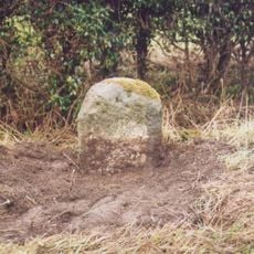
Milestone, E of Marlpits Farm entrance
7.7 km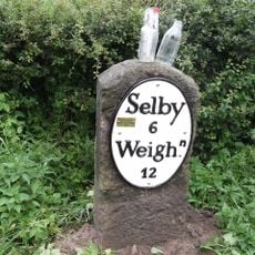
Milestone, E of North Duffield
2.1 kmVisited this place? Tap the stars to rate it and share your experience / photos with the community! Try now! You can cancel it anytime.
Discover hidden gems everywhere you go!
From secret cafés to breathtaking viewpoints, skip the crowded tourist spots and find places that match your style. Our app makes it easy with voice search, smart filtering, route optimization, and insider tips from travelers worldwide. Download now for the complete mobile experience.

A unique approach to discovering new places❞
— Le Figaro
All the places worth exploring❞
— France Info
A tailor-made excursion in just a few clicks❞
— 20 Minutes