
Broadbridge Heath, village in the United Kingdom
Location: Horsham
Website: http://www.broadbridgeheath-pc.gov.uk/
Shares border with: Dorking
Website: http://broadbridgeheath-pc.gov.uk
GPS coordinates: 51.07137,-0.35909
Latest update: April 10, 2025 19:08
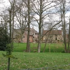
Chesworth House
3.3 km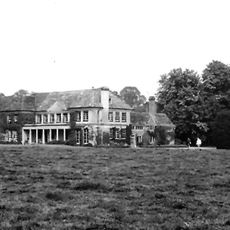
Field Place
685 m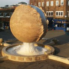
Rising Universe
2.1 km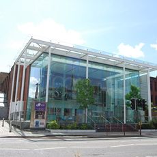
Capitol Horsham
2.7 km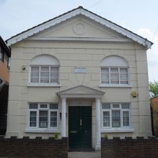
Madina Mosque, Horsham
2.8 km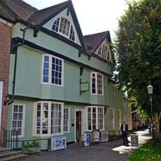
Horsham Museum
2.4 km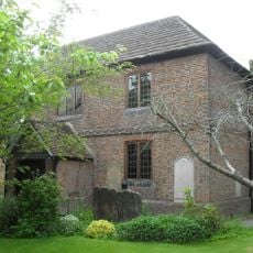
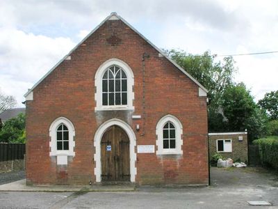
Horsham Unitarian Church
2 km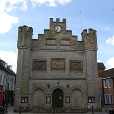
Town Hall
2.4 km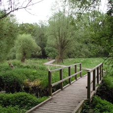
Warnham LNR
2.4 km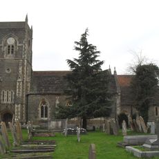
The Parish Church of St Peter
3.3 km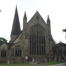
Parish Church of St Mary
2.4 km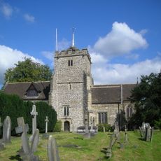
The Parish Church of St Margaret, Warnham
2.3 km
The Parish Church of St Nicolas
3.2 km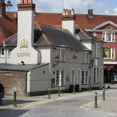
The Crown
2.3 km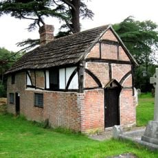
Priest's House
3.2 km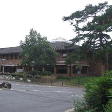
Horsham Library
2.1 km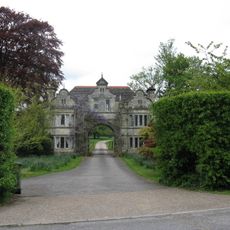
South East Lodges Of Warnham Court School
1.7 km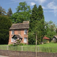
Mill House
2 km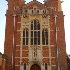
Dining Hall And Water Tower To North, School To South, Collannaded Wings To East And West Forming A Quadra
3.2 km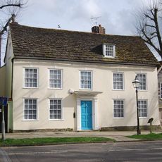
Causeway Lodge
2.4 km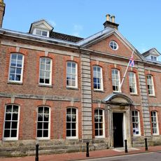
Horsham Park
2.6 km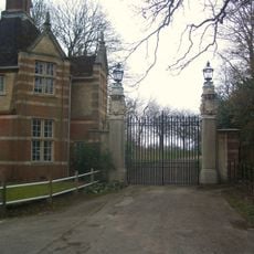
East Lodge and gateway, Christ's Hospital School
2.9 km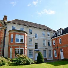
The Manor House
2.3 km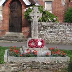
Slinfold War Memorial
3.3 km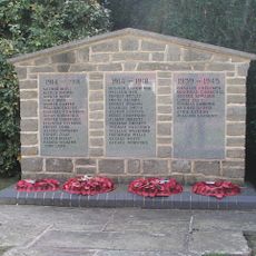
Broadbridge Heath War Memorial
131 m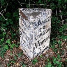
Milepost, Andrews Farm
1.9 km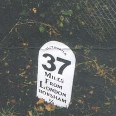
Milestone, Worthing Road, just S of railway bridge
2.2 km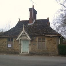
Old Lodge To North East Of Chirst's Hospital
2.8 kmReviews
Visited this place? Tap the stars to rate it and share your experience / photos with the community! Try now! You can cancel it anytime.
Discover hidden gems everywhere you go!
From secret cafés to breathtaking viewpoints, skip the crowded tourist spots and find places that match your style. Our app makes it easy with voice search, smart filtering, route optimization, and insider tips from travelers worldwide. Download now for the complete mobile experience.

A unique approach to discovering new places❞
— Le Figaro
All the places worth exploring❞
— France Info
A tailor-made excursion in just a few clicks❞
— 20 Minutes