
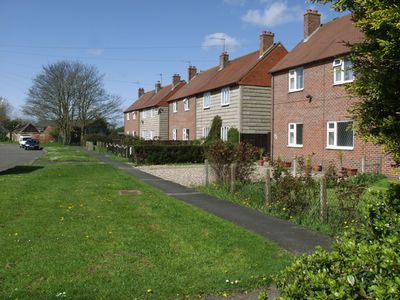
Routh, village and civil parish in East Riding of Yorkshire, United Kingdom
Location: East Riding of Yorkshire
GPS coordinates: 53.87002,-0.34452
Latest update: March 2, 2025 20:37
Meaux Abbey
3.5 km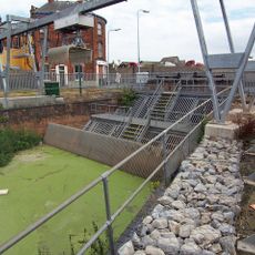
Beverley and Barmston Drain
4.1 km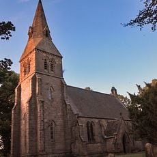
Church of All Saints
6.1 km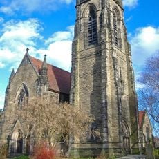
The Parish Church of St Nicholas
5.6 km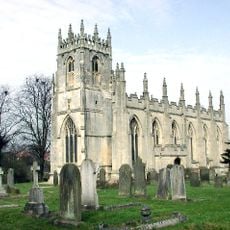
Church of St Augustine
6.1 km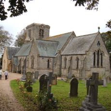
Holy Trinity Church
3 km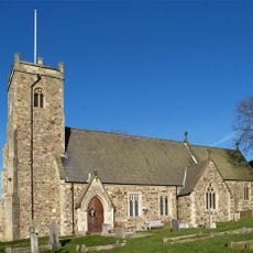
Church of St Michael
4.9 km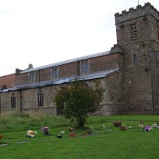
Church of St Mary
5.7 km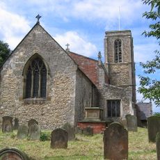
Church of St Peter
6 km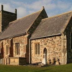
Church of St Margaret
3.4 km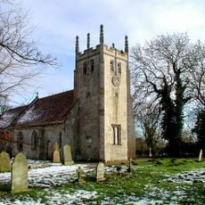
Church of All Saints
340 m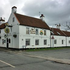
Black Swan Public House
5.6 km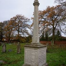
Leven War Memorial in the Churchyard of Holy Trinity Church
3 km
The Mariners Arms Public House
5.8 km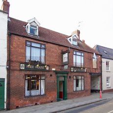
The Buck Public House
5.8 km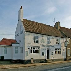
The Sloop Public House
5.7 km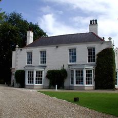
Tickton Grange
1.9 km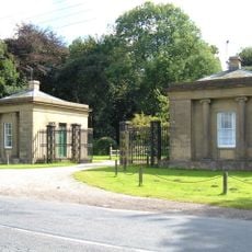
West Stone Lodge And East Stone Lodge With Attached Walls, Gates And Railings
5.9 km
Figham House
5.5 km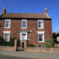
4, Main Street
6 km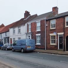
32,34, Beckside
5.8 km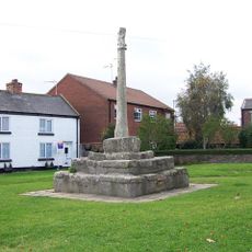
Market Cross
5.6 km
58, Flemingate
6 km
56, Flemingate
6 km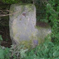
Milestone, half way between Routh and White Cross TI
1.3 km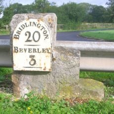
Milestone, by access road to Environment Agency
1.7 km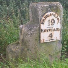
Milestone, W of Meaux Lane
290 m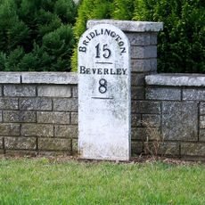
Milestone, Brandesburton, New Road adjacent to Elmfield Drive
5.1 kmReviews
Visited this place? Tap the stars to rate it and share your experience / photos with the community! Try now! You can cancel it anytime.
Discover hidden gems everywhere you go!
From secret cafés to breathtaking viewpoints, skip the crowded tourist spots and find places that match your style. Our app makes it easy with voice search, smart filtering, route optimization, and insider tips from travelers worldwide. Download now for the complete mobile experience.

A unique approach to discovering new places❞
— Le Figaro
All the places worth exploring❞
— France Info
A tailor-made excursion in just a few clicks❞
— 20 Minutes