Enable Location

We need your location to show you interesting places around you

Discover nearby places

Find interesting locations and hidden gems around you

Precise directions

Get accurate directions and distances to places

Your location is never shared with other users. It's only used when you tap the location button.

Rousham

Log in to your account

Start exploring — it's free

Trusted by 63,128 travelers worldwide

Continue with Google
Continue with Apple
or

We will send you a code to connect

By continuing, you accept our Terms and Conditions and our Privacy Policy

Check your inbox

We've sent a pincode in your inbox. Please enter the code below.

Discussion Reviews 1 Photos
0 Popularity

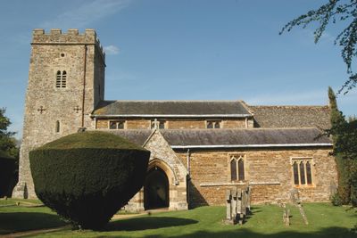
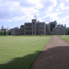
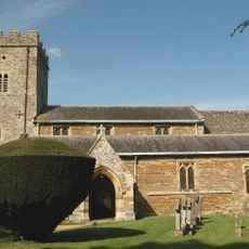
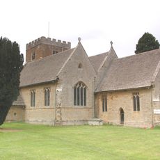
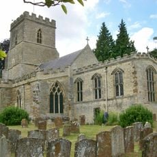
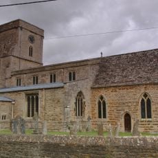
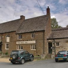
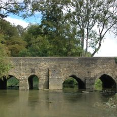
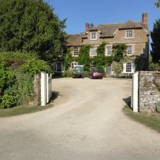
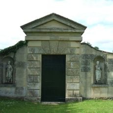
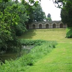
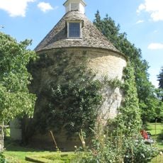
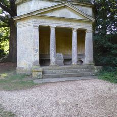
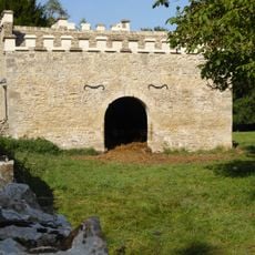
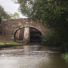
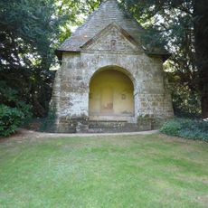
Rousham, village and civil parish in West Oxfordshire, England

The community of curious travelers

AroundUs brings together thousands of curated places, local tips, and hidden gems, enriched daily by 60,000 contributors worldwide.

Start exploring
Location
Shares border with
Steeple Aston, Steeple Barton, Tackley, Lower Heyford
GPS coordinates
51.91300,-1.30300
Latest update
March 4, 2025 21:41
Around this place
Rousham House
United Kingdom

Rousham House

142 m
Church of St James, Rousham
United Kingdom

Church of St James, Rousham

120 m
Church of St Mary
United Kingdom

Church of St Mary

3.3 km
Church of St Peter and St Paul
United Kingdom

Church of St Peter and St Paul

2.1 km
Church of St Mary
United Kingdom

Church of St Mary

943 m
The Bell Inn
United Kingdom

The Bell Inn

948 m
Heyford Bridge
United Kingdom

Heyford Bridge

759 m
Bridge At Junction With Station Road, Plus Approach Walls
United Kingdom

Bridge At Junction With Station Road, Plus Approach Walls

664 m
Statue of Dying Gaul Approximately 5 Metres South West of Balustrade of Praeneste
United Kingdom

Statue of Dying Gaul Approximately 5 Metres South West of Balustrade of Praeneste

458 m
Statue of Lion and Horse Approxiamtely 85 Metres North of Rousham Park and at North End of Bowling Green
United Kingdom

Statue of Lion and Horse Approxiamtely 85 Metres North of Rousham Park and at North End of Bowling Green

317 m
Statue of Apollo at End of Long Walk and Approximately 12 Metres South East of the Temple of Echo
United Kingdom

Statue of Apollo at End of Long Walk and Approximately 12 Metres South East of the Temple of Echo

579 m
Bridge 400 Metres North Of Dashwood Lock
United Kingdom

Bridge 400 Metres North Of Dashwood Lock

1.2 km
Upper Cascade Including Statues Of Venus And Swans In Venus Vale
United Kingdom

Upper Cascade Including Statues Of Venus And Swans In Venus Vale

515 m
Steeple Aston War Memorial
United Kingdom

Steeple Aston War Memorial

1.5 km
Cowhouse Approximately 410 Metres South Of Rousham Park
United Kingdom

Cowhouse Approximately 410 Metres South Of Rousham Park

310 m
The Dower House
United Kingdom

The Dower House

42 m
Palladian Gateway
United Kingdom

Palladian Gateway

531 m
Churchyard Cross Approximately 8 Metres South Of Church Of St Peter And St Paul
United Kingdom

Churchyard Cross Approximately 8 Metres South Of Church Of St Peter And St Paul

2 km
Lower Cascade In Venus' Vale
United Kingdom

Lower Cascade In Venus' Vale

500 m
Eyecatcher At Sp 4828 2603
United Kingdom

Eyecatcher At Sp 4828 2603

2 km
Praeneste
United Kingdom

Praeneste

454 m
Dovecote at Rousham House
United Kingdom

Dovecote at Rousham House

164 m
Temple Of Echo
United Kingdom

Temple Of Echo

601 m
Urn Approximately 3 Metres From North East Corner Of Praeneste
United Kingdom

Urn Approximately 3 Metres From North East Corner Of Praeneste

474 m
Lodge Approximately 10 Metres South South East Of Palladiam Gateway
United Kingdom

Lodge Approximately 10 Metres South South East Of Palladiam Gateway

514 m
Urn Approximately 3 Metres From South East Corner Of Praeneste
United Kingdom

Urn Approximately 3 Metres From South East Corner Of Praeneste

438 m
Oxford Canal Northbrook Bridge (That Part In Kirtlington Civil Parish)
United Kingdom

Oxford Canal Northbrook Bridge (That Part In Kirtlington Civil Parish)

2.3 km
The Pyramid House
United Kingdom

The Pyramid House

235 m
Show the full map
Reviews
Share your experience

No review yet

Discussions
Start a discussion...

No discussion yet

« Rousham - village and civil parish in West Oxfordshire, England » is provided by Around Us (aroundus.com). Images and texts are derived from Wikimedia project under a Creative Commons license. You are allowed to copy, distribute, and modify copies of this page, under the conditions set by the license, as long as this note is clearly visible.

Discover hidden gems everywhere you go!

From secret cafés to breathtaking viewpoints, skip the crowded tourist spots and find places that match your style. Our app makes it easy with voice search, smart filtering, route optimization, and insider tips from travelers worldwide. Download now for the complete mobile experience.

Around Us App Screenshot

A unique approach to discovering new places

Le Figaro

All the places worth exploring

France Info

A tailor-made excursion in just a few clicks

20 Minutes

Around Us
Travel Guide & Maps
Download

Send to your phone

QR Code
1

Open the camera app on your mobile.

2

Point at the QR code with your camera. A notification will appear.

3

Tap the notification to open the link.