
Normandy, village and civil parish in Surrey, England
Location: Guildford
Shares border with: Mytchett
GPS coordinates: 51.25760,-0.65560
Latest update: March 8, 2025 13:30
Brookwood Cemetery
4.6 km
Basingstoke Canal
5 km
Wanborough Manor
2.9 km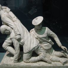
Museum of Military Medicine
4.8 km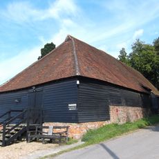
Wanborough Grange
2.9 km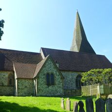
Church of St Peter
4.3 km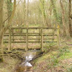
Littlefield Common
2.2 km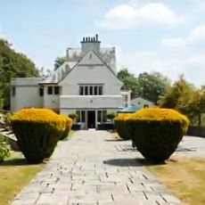
Greyfriars
3.6 km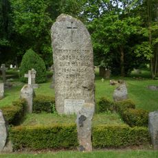
Stanley Memorial
4.1 km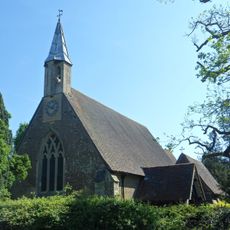
Church of St Mark
1.8 km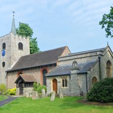
Church of St Michael and All Angels
4.1 km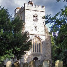
Church of St Mary the Virgin
3.8 km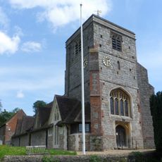
Church of St John the Baptist
4 km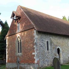
Church of St Bartholomew
2.9 km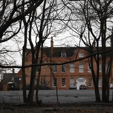
Henley Park
1 km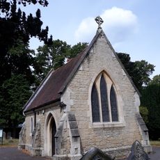
Memorial Chapel
4.4 km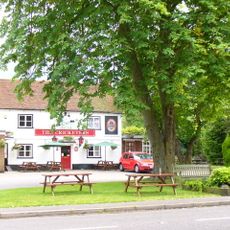
The Cricketers Public House
4.2 km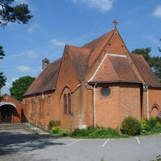
St Mary's Church
4.7 km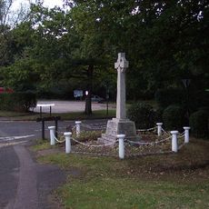
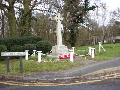
Normandy War Memorial, Surrey
1.2 km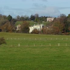
Puttenham Priory
4 km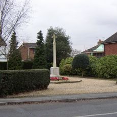
Ash War Memorial
4.2 km
Chest Tomb 12 Yards North Of Tower Of Church Of St John The Baptist
4 km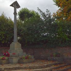
Puttenham War Memorial
4 km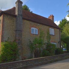
The Old School House
4 km
Winters Farm Studio And Barn
4.1 km
Parker Chest Tomb 2 Yards West Of Tower Of Church Of St Peter
4.3 km
Hartshorn
4.3 km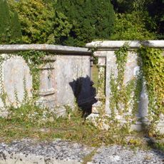
Chest Tomb 10 Yards North Of Tower Of Church Of St John The Baptist
4 kmVisited this place? Tap the stars to rate it and share your experience / photos with the community! Try now! You can cancel it anytime.
Discover hidden gems everywhere you go!
From secret cafés to breathtaking viewpoints, skip the crowded tourist spots and find places that match your style. Our app makes it easy with voice search, smart filtering, route optimization, and insider tips from travelers worldwide. Download now for the complete mobile experience.

A unique approach to discovering new places❞
— Le Figaro
All the places worth exploring❞
— France Info
A tailor-made excursion in just a few clicks❞
— 20 Minutes