
Horseheath, village and civil parish in Cambridgeshire, United Kingdom
Location: South Cambridgeshire
GPS coordinates: 52.08791,0.33425
Latest update: March 16, 2025 15:11
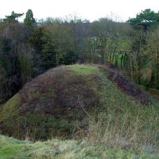
Bartlow Hills
1.7 km
Balsham Wood
4 km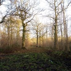
Langley Wood
3.5 km
Over and Lawn Woods
4.5 km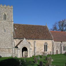
Church of All Saints
4.2 km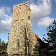
Church of St Mary
3.6 km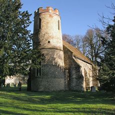
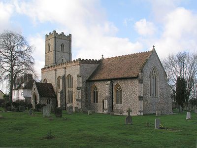
Church of St Mary
1.6 km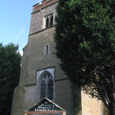
Church of St Mary
2.5 km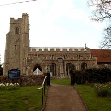
Church of St Mary
5.4 km
Balsham War Memorial in Churchyard, Church of Holy Trinity
5.1 km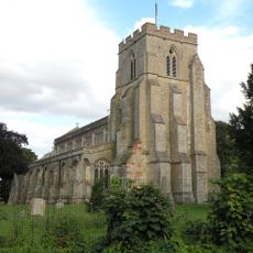
Church of Holy Trinity
5.2 km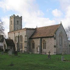
Church of All Saints
2.1 km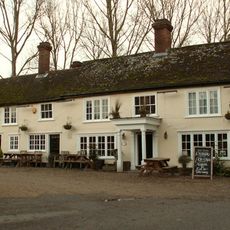
Three Hills Public House
1.7 km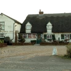
White Horse Inn
5.1 km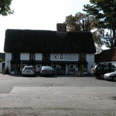
Black Bull Inn
5 km
Carters Farmhouse
2 km
Barham Hall
2.6 km
The Old Vicarage
5.2 km
Place Farm Farmhouse
3 km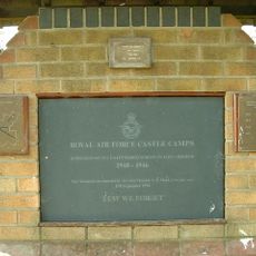
RAF Castle Camps WWII Memorial
4.7 km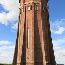
Water Tower
3.9 km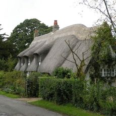
Long Thatch
5.2 km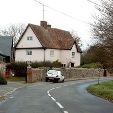
Street Farmhouse
1.7 km
Mill Green Farmhouse
2.4 km
29, High Street
5 km
Emson's Farmhouse
3.4 km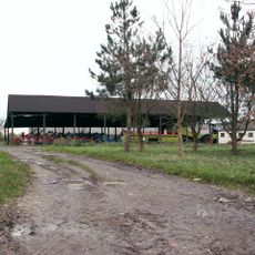
Whitensmere Farmhouse
2.6 km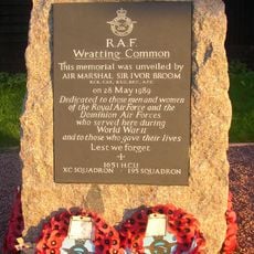
RAF Wratting Common Memorial
6 kmReviews
Visited this place? Tap the stars to rate it and share your experience / photos with the community! Try now! You can cancel it anytime.
Discover hidden gems everywhere you go!
From secret cafés to breathtaking viewpoints, skip the crowded tourist spots and find places that match your style. Our app makes it easy with voice search, smart filtering, route optimization, and insider tips from travelers worldwide. Download now for the complete mobile experience.

A unique approach to discovering new places❞
— Le Figaro
All the places worth exploring❞
— France Info
A tailor-made excursion in just a few clicks❞
— 20 Minutes