
Hensall, village and civil parish in the English county of North Yorkshire
Location: Selby
Shares border with: Chapel Haddlesey
GPS coordinates: 53.70390,-1.10590
Latest update: March 4, 2025 14:27

Carlton Towers
5.8 km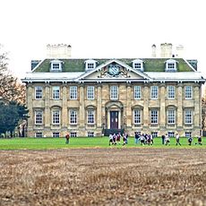
Cowick Hall
6.9 km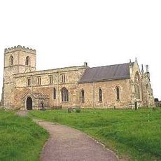
Church of St Edmund
4.5 km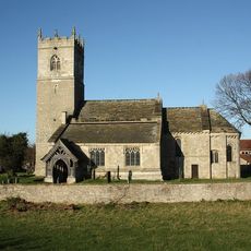
Church of St Mary
6.8 km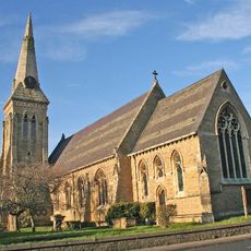
Church of St Mary
5.6 km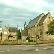
Church of St Mary (roman Catholic)
5.7 km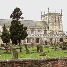
Church of St Lawrence
5.1 km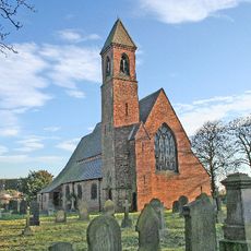
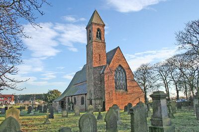
Church of St Paul
1.2 km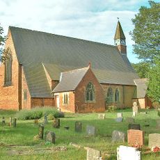
Church of St John the Baptist
4.6 km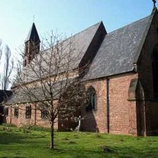
Church of the Holy Trinity
7.2 km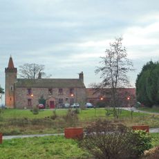
Temple Manor
1.8 km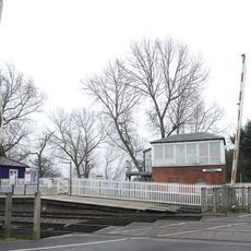
Hensall Signal Box
864 m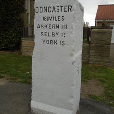
Milestone 0.1 Mile North Of Junction With Barff Lane
7.3 km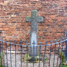
Hirst Courtney War Memorial
2.3 km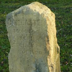
Milestone
2.3 km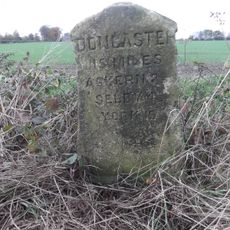
Milestone, Chapel Haddlesey (No.18, Doncaster and Selby Turnpike)
3.2 km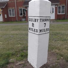
Mile-Post Approximately 75 Metres West Of Fairholme
5.7 km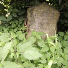
Milestone Approximately 100 Metres North Of Common Lane
5.7 km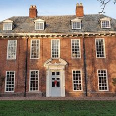
Cambleforth Hall
6.2 km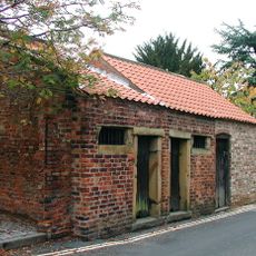
Lock-Up
5.2 km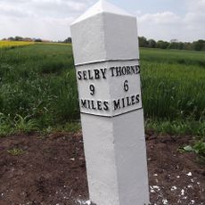
Milepost Approximately 50 Metres South-East Of Cowick Primary School
7.3 km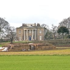
Gateforth Hall
7.1 km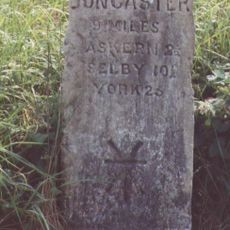
Milestone, N of Lake Drain bridge
6.2 km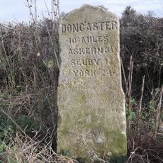
Milestone, S of Balne Moor X rds at minor X rds
4.8 km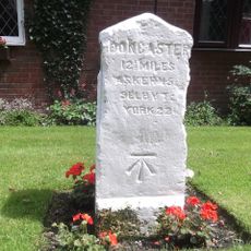
Milestone, N of M62 J34, on old road cut off by motorway
3.6 km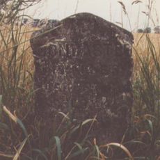
Milestone, N of Chapel Haddesley, N side of X rds
3.2 km
Milestone, Weeland Road, E of lane to Beal opposite
5.3 km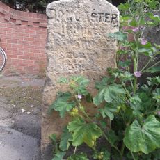
Milestone, S end of Whitley village
3.8 kmVisited this place? Tap the stars to rate it and share your experience / photos with the community! Try now! You can cancel it anytime.
Discover hidden gems everywhere you go!
From secret cafés to breathtaking viewpoints, skip the crowded tourist spots and find places that match your style. Our app makes it easy with voice search, smart filtering, route optimization, and insider tips from travelers worldwide. Download now for the complete mobile experience.

A unique approach to discovering new places❞
— Le Figaro
All the places worth exploring❞
— France Info
A tailor-made excursion in just a few clicks❞
— 20 Minutes