
Rushden, village and civil parish in Hertfordshire, England
Location: North Hertfordshire
GPS coordinates: 51.96760,-0.10527
Latest update: March 11, 2025 12:06
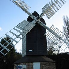
Cromer Windmill, Ardeley
3 km
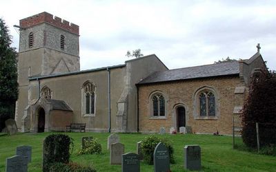
Church of the Holy Trinity
4 km
St Andrew's Church, Buckland
6 km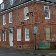
Red House, Buntingford
6.1 km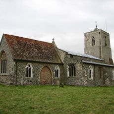
Church of All Saints
3.5 km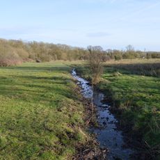
Blagrove Common
3.2 km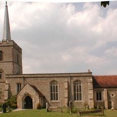
Parish Church of St John the Baptist
2.8 km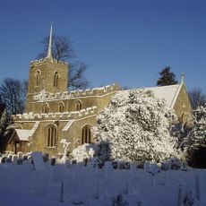
Parish Church of St Lawrence
4.5 km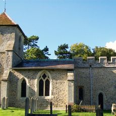
Church of St Mary
3.2 km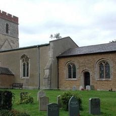
Church of St Mary
322 m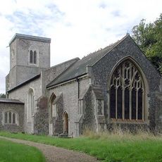
Church of St Mary
2.2 km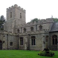
Church of St Faith
5.3 km
Village Pump And Wellhouse (On Green 90 Metres To North Of Church)
4.4 km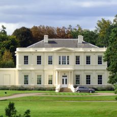
Aspenden Hall
5.9 km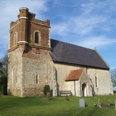
Holy Trinity Church
3.8 km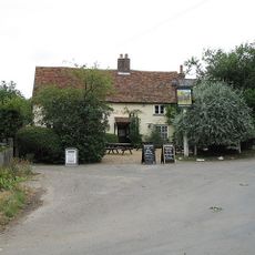
Rose Cottage and The Jolly Waggoner Public House
4.5 km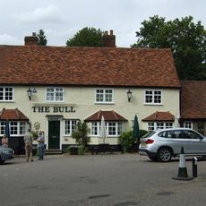
The Bull Public House
2.9 km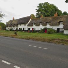
Home Close Cottages
2.9 km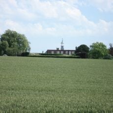
Julians
1.1 km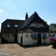
Green End Cottage
4.1 km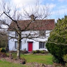
The Place
3.7 km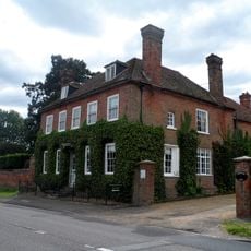
Chipping Hall And Garden Walls
5.3 km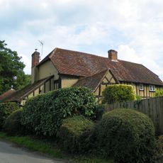
Weston Mead
4 km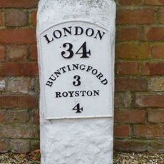
Milestone In Yard Of Buckland Bury (20 Meters To South-South-East Of House)
5.7 km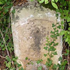
Milestone Near Corney Bury
5.4 km
Ardeley Parish Hall (At The South East Corner Of The Green)
4.4 km
The Town House
2.7 km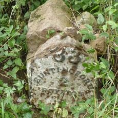
Milestone, Chipping Hill, N of Chipping
5.3 kmReviews
Visited this place? Tap the stars to rate it and share your experience / photos with the community! Try now! You can cancel it anytime.
Discover hidden gems everywhere you go!
From secret cafés to breathtaking viewpoints, skip the crowded tourist spots and find places that match your style. Our app makes it easy with voice search, smart filtering, route optimization, and insider tips from travelers worldwide. Download now for the complete mobile experience.

A unique approach to discovering new places❞
— Le Figaro
All the places worth exploring❞
— France Info
A tailor-made excursion in just a few clicks❞
— 20 Minutes