
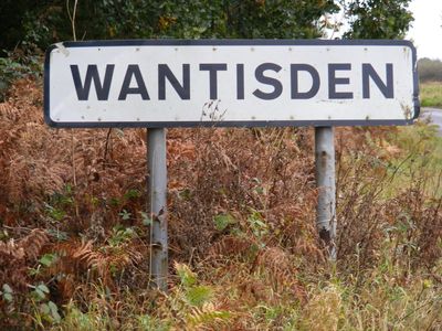
Wantisden, village in the United Kingdom
Location: Suffolk Coastal
Location: East Suffolk
GPS coordinates: 52.11060,1.45781
Latest update: April 6, 2025 20:41
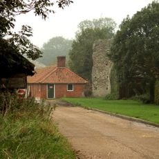
Butley Priory
2.2 km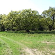
Staverton Park and The Thicks, Wantisden
1.7 km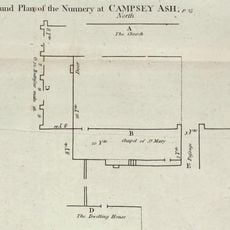
Campsey Priory
5.8 km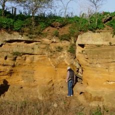
Coralline Crag Formation
5 km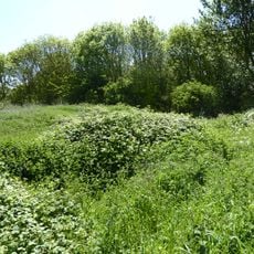
Gedgrave Hall Pit
4.7 km
Sandlings Forest
538 m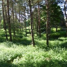
Sudbourne Park Pit
3.9 km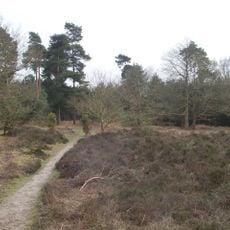
Blaxhall Common
5.3 km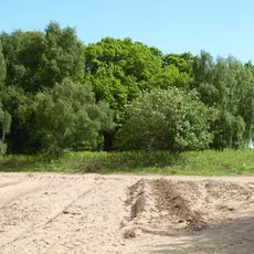
Iken Wood
5.7 km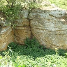
Richmond Farm Pit, Gedgrave
4.8 km
Tunstall Common
3.6 km
Chillesford Church Pit
1.6 km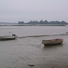
Alde Mudflats
5.6 km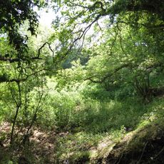
Neutral Farm Pit, Butley
557 m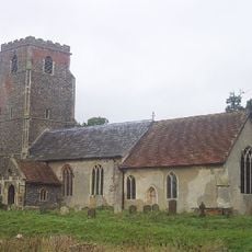
Church of St Peter
5.6 km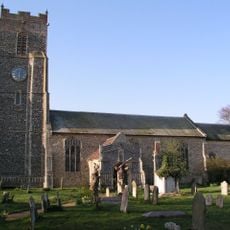
Church of St Michael
3.7 km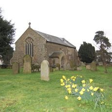
Church of All Saints
5.1 km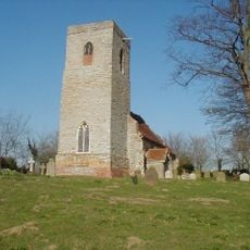
Church of St Peter
1.6 km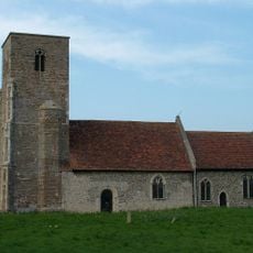
Church of St John the Baptist
1.9 km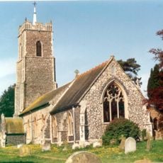
Church of St John the Baptist
5.9 km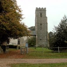
Church of St Gregory the Great
4.5 km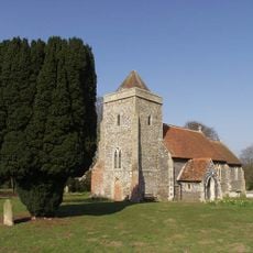
Church of St Andrew
4.4 km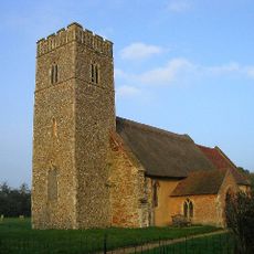
Church of St John the Baptist
1.4 km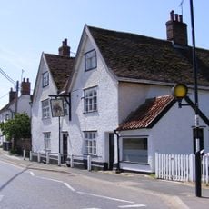
The Elephant And Castle, Eyke
5.1 km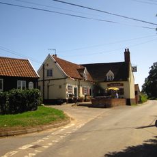
The Ship Inn, Blaxhall
5.5 km
Spratts Cottage
3.6 km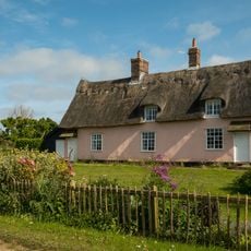
Fir Tree Cottages
5.7 km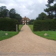
Gedgrave Hall
4.5 kmReviews
Visited this place? Tap the stars to rate it and share your experience / photos with the community! Try now! You can cancel it anytime.
Discover hidden gems everywhere you go!
From secret cafés to breathtaking viewpoints, skip the crowded tourist spots and find places that match your style. Our app makes it easy with voice search, smart filtering, route optimization, and insider tips from travelers worldwide. Download now for the complete mobile experience.

A unique approach to discovering new places❞
— Le Figaro
All the places worth exploring❞
— France Info
A tailor-made excursion in just a few clicks❞
— 20 Minutes