
Wigtoft, village and civil parish in Lincolnshire, England
Location: Boston
Shares border with: Donington
GPS coordinates: 52.90785,-0.12418
Latest update: March 7, 2025 16:39

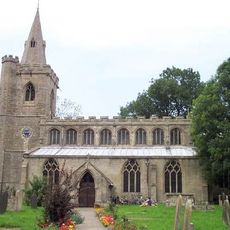
Church of St Peter and St Paul
101 m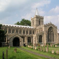
Church of St Peter and St Paul
3 km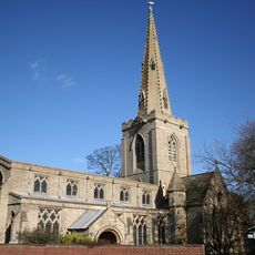
Church of St Mary
2.3 km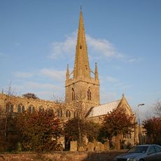
Church of St Peter and St Paul
5 km
Church of St Mary
4.8 km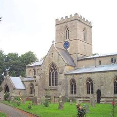
Church of St Swithin
4.2 km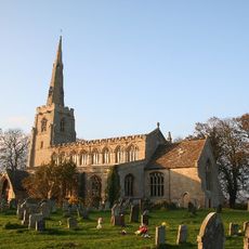
Church of St Margaret
4.3 km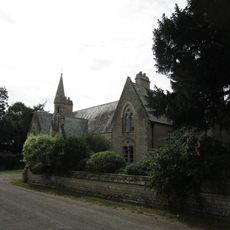
South Cottage, Village Hall And Church View Cottage And Garden Wall
3 km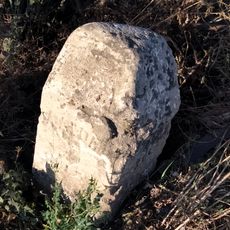
Milestone Opposite Baptist Church
5.1 km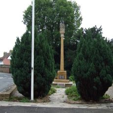
Gosberton War Memorial
5 km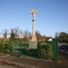
Bicker War Memorial
4 km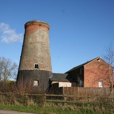
The Mill
1 km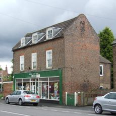
Donington Community Hub Library
5.2 km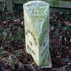
Mile Post South Of Old Junction With A52
3.4 km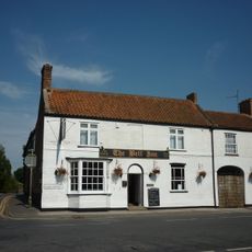
The Bell
5 km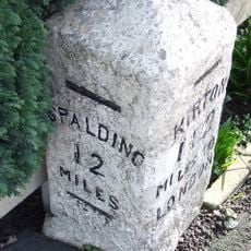
Milestone In Centre Of Village
4.7 km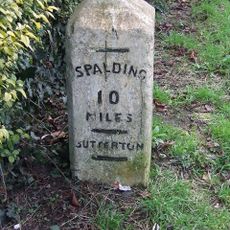
Milestone (South Of Tudor Lodge)
2.3 km
Milepost South Of Green Lane
2.4 km
Milestone By Struggs Hill
3.2 km
Old School Building At Cowleys School
5.1 km
Milepost, East Of Waste Green Lane
5.2 km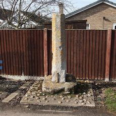
Stump Cross
4.3 km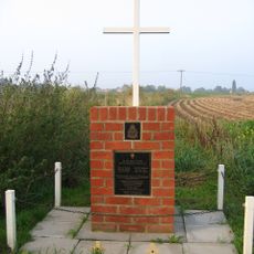
No. 635 Squadron RAF Crash Memorial, Bicker
3.7 km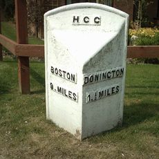
Milepost, Donington Road, outside Maple House
3.9 km
2, Wargate Way
5.1 km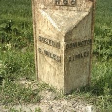
Milepost, Donington Road, near Bar Farm
3.3 km
Milepost, Quadring Road, by No 93
4.6 km
Milepost, Quadring Road, by No. 93
4.6 kmReviews
Visited this place? Tap the stars to rate it and share your experience / photos with the community! Try now! You can cancel it anytime.
Discover hidden gems everywhere you go!
From secret cafés to breathtaking viewpoints, skip the crowded tourist spots and find places that match your style. Our app makes it easy with voice search, smart filtering, route optimization, and insider tips from travelers worldwide. Download now for the complete mobile experience.

A unique approach to discovering new places❞
— Le Figaro
All the places worth exploring❞
— France Info
A tailor-made excursion in just a few clicks❞
— 20 Minutes